Transport Functions
Rail
Road
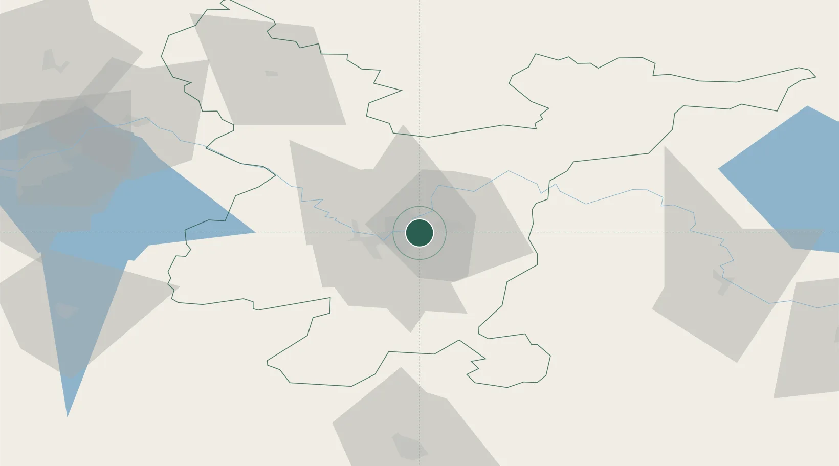
Hub Profile
Place type
National capital
Region
Vilnius
Population
542,366
Time zone
Europe/Vilnius
Elevation
98 m
Location
Nearby Logistics Neighbours
Cities
- 1Vilnius13 km
- 2Vaidotai13 km
- 3Senieji Trakai24 km
- 4Kena25 km
- 5Vievis34 km
Ports
- 1Riga263 km
- 2Klaipeda290 km
- 3Kaliningrad311 km
- 4Butinge Oil Terminal314 km
- 5Liepaja338 km
Airports
- 1Vilnius International Airport6 km
- 2Jonava Air Base71 km
- 3Kaunas International Airport85 km
- 4Kėdainiai Air Base111 km
- 5Panevėžys Air Base128 km
Trade Zones
DatabookThe Record of Consolidated Knowledge
Lithuania beyond logistics?