UN/LOCODE hub · Lithuania
LTSTR
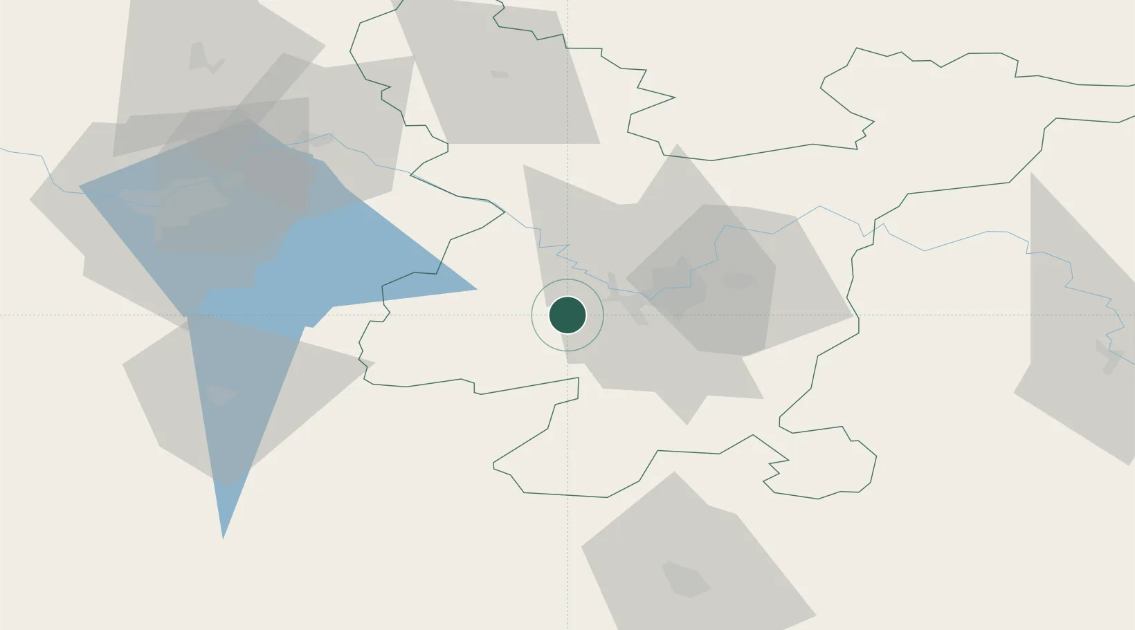
Senieji Trakai
54.6167°, 24.9667°
1,501
Population
2
Transport functions
Transport Functions
Rail
Road
Hub Profile
Place type
Populated place
Region
Vilnius
Population
1,501
Time zone
Europe/Vilnius
Elevation
159 m
Location
Nearby Logistics Neighbours
Cities
- 1Vaidotai13 km
- 2Vilnius18 km
- 3Vievis20 km
- 4Vilnius24 km
- 5Stakliskes42 km
Ports
- 1Riga265 km
- 2Klaipeda273 km
- 3Kaliningrad289 km
- 4Butinge Oil Terminal299 km
- 5Liepaja326 km
Airports
- 1Vilnius International Airport21 km
- 2Jonava Air Base58 km
- 3Kaunas International Airport68 km
- 4Kėdainiai Air Base101 km
- 5Hrodna Airport128 km
Trade Zones
DatabookThe Record of Consolidated Knowledge
Lithuania beyond logistics?