Transport Functions
Rail
Road
Hub Profile
Place type
Provincial seat
Region
Vilnius
Population
6,891
Time zone
Europe/Vilnius
Elevation
176 m
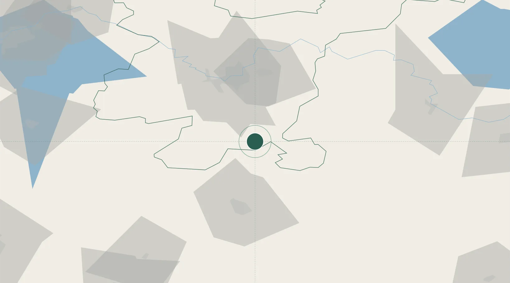
Location
Nearby Logistics Neighbours
Cities
- 1Vilnius32 km
- 2Vaidotai36 km
- 3Vilnius43 km
- 4Senieji Trakai44 km
- 5Kena45 km
Ports
- 1Riga305 km
- 2Klaipeda313 km
- 3Kaliningrad318 km
- 4Butinge Oil Terminal340 km
- 5Liepaja369 km
Airports
- 1Vilnius International Airport38 km
- 2Jonava Air Base102 km
- 3Kaunas International Airport111 km
- 4Hrodna Airport116 km
- 5Baranavichi Air Base141 km
Trade Zones
DatabookThe Record of Consolidated Knowledge
Lithuania beyond logistics?