Economic Revitalization Project · Lithuania

Marijampolė Free Economic Zone Active
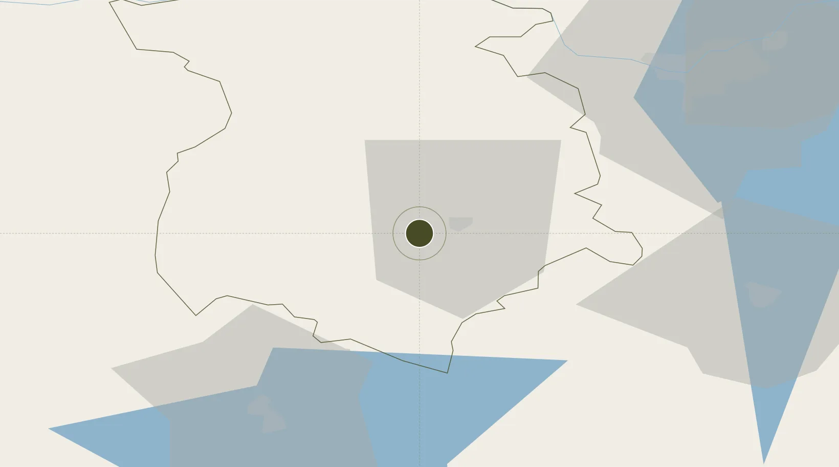
54.5418°, 23.2730°
80 ha
Zone area
180.4 km
Nearest port
70.2 km
Nearest airport

Gateway access

Nearest neighbours — logibook spatial index (haversine) over the source coordinates

Zone profile

Zone type
Economic Revitalization Project
Open Zone Map
Region
Marijampoles
Open Zone Map
Status
Active
Open Zone Map
Management
Private
Open Zone Map
Operator
Baltic FEZ Management Company
Open Zone Map
Legal framework
Law on the Fundamentals of Free Economic Zones Number of document: I-976 1996-04-02
Open Zone Map

Location

Location of ozm-2720
Natural Earth 10m (public domain) · Marijampoles · ozm-2720 · 54.54, 23.27GoogleOSMYandex

Nearby Logistics Neighbours

Ports
  1. 1Kaliningrad180 km
  2. 2Klaipeda189 km
  3. 3Baltiysk218 km
  4. 4Butinge Oil Terminal222 km
  5. 5Liepaja262 km
Nearest neighbours — logibook spatial index (haversine) over the source coordinates
Airports
  1. 1Kaunas International Airport70 km
  2. 2Jonava Air Base87 km
  3. 3Kėdainiai Air Base96 km
  4. 4Chernyakhovsk Naval Air Base96 km
  5. 5Hrodna Airport116 km
Nearest neighbours — logibook spatial index (haversine) over the source coordinates
Cities
  1. 1Sestokai22 km
  2. 2Mockava23 km
  3. 3Kazlu Ruda29 km
  4. 4Trakiszki35 km
  5. 5Kybartai36 km
Nearest neighbours — logibook spatial index (haversine) over the source coordinates
Trade Zones
  1. 1Suwałki SEZ (Suwalska SSE)53 km
  2. 2Kaunas Free Economic Zone65 km
  3. 3Kėdainiai Free Economic Zone93 km
  4. 4Free Economic Zone Grodnoinvest100 km
  5. 5Panevėžys Free Economic Zone115 km
Nearest neighbours — logibook spatial index (haversine) over the source coordinates
DatabookThe Record of Consolidated Knowledge
Lithuania beyond logistics?
Browse databook

All Sources

Trade ZonesOpen Zone Map
CC BY
Portsthe NGA World Port Index
Public domain (US gov)
AirportsOurAirports
Public domain
LocationsUN/LOCODE
UN/LOCODE — free
← Lithuania trade zones