Large airport · Lithuania

Vilnius International AirportEYVI
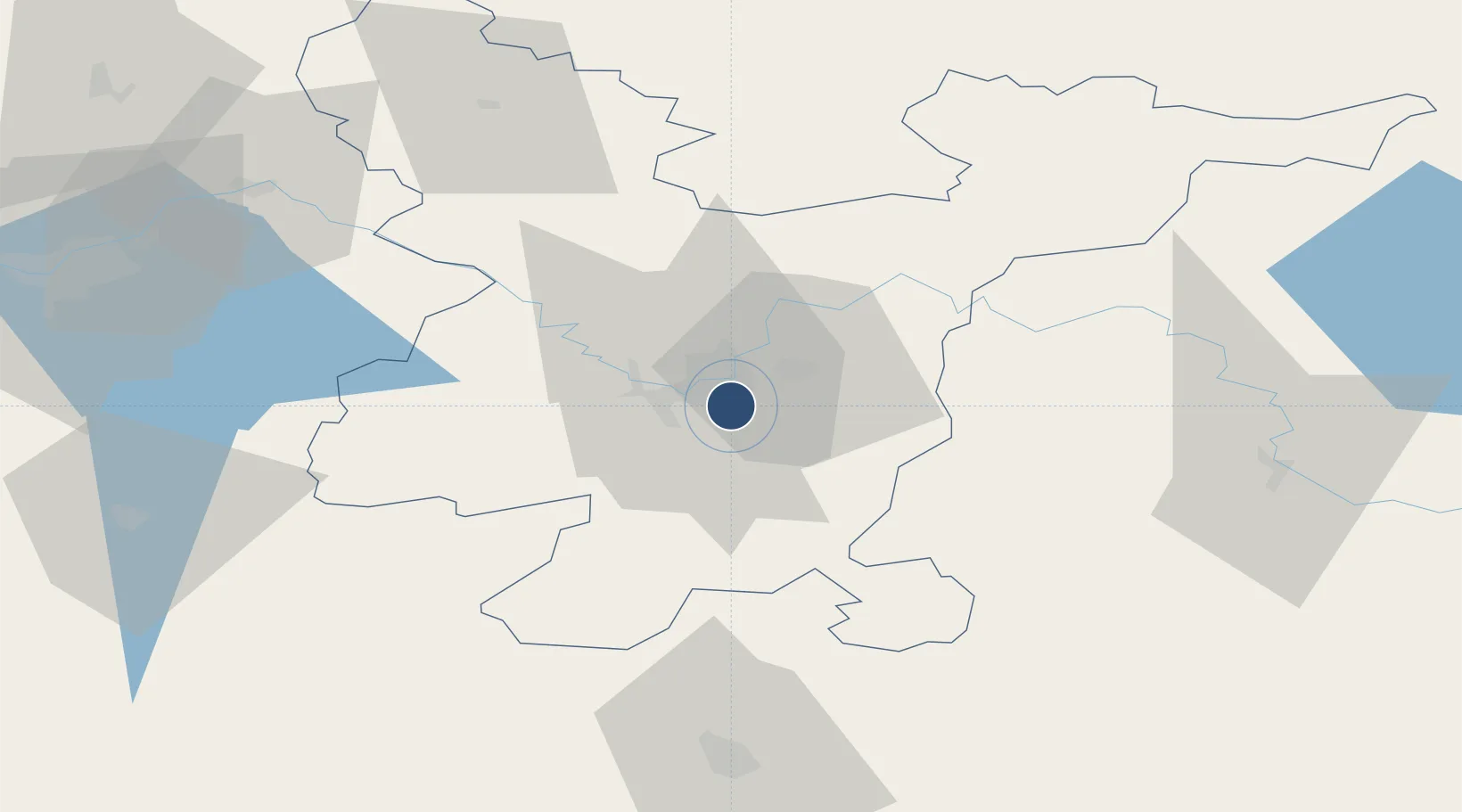
54.6341°, 25.2858°
8,251 ft
Longest runway
1
Runways
648 ft
Elevation

Runway & Layout

Vilnius International Airport runway & taxiway layout
Runway & taxiway layout — OpenStreetMap (ODbL) / OurAirports

Radio Frequencies

ATIS
125.8 MHz
TWR
118.2 MHz
APP
120.7 MHz
OurAirports

Navaids

AVN NDB Vilnius 385 kHz
VNO VOR-DME Vilnius 113.80 MHz
OurAirports

Runways · 1

RunwayDimensions SurfaceTrue headingLit
01/19 8,251 × 164ft Asphalt 022°
OurAirports

Airport Specifications

IATA code
VNO
OurAirports
ICAO code
EYVI
OurAirports
Airport class
Large airport
OurAirports
Scheduled service
Yes
OurAirports
Runway surface
Asphalt
OurAirports
Served city
Vilnius
OurAirports

Location

Location of EYVI
Natural Earth 10m (public domain) · Vilniaus · EYVI · 54.63, 25.29GoogleOSMYandex

Nearby Logistics Neighbours

Airports
  1. 1Jonava Air Base72 km
  2. 2Kaunas International Airport85 km
  3. 3Kėdainiai Air Base114 km
  4. 4Panevėžys Air Base133 km
  5. 5Hrodna Airport140 km
Nearest neighbours — logibook spatial index (haversine) over the source coordinates
Cities
  1. 1Vilnius6 km
  2. 2Vilnius7 km
  3. 3Vaidotai9 km
  4. 4Senieji Trakai21 km
  5. 5Kena27 km
Nearest neighbours — logibook spatial index (haversine) over the source coordinates
Ports
  1. 1Riga268 km
  2. 2Klaipeda291 km
  3. 3Kaliningrad309 km
  4. 4Butinge Oil Terminal315 km
  5. 5Liepaja340 km
Nearest neighbours — logibook spatial index (haversine) over the source coordinates
Trade Zones
  1. 1Kaunas Free Economic Zone89 km
  2. 2Kėdainiai Free Economic Zone108 km
  3. 3Panevėžys Free Economic Zone114 km
  4. 4Marijampolė Free Economic Zone130 km
  5. 5Free Economic Zone Grodnoinvest141 km
Nearest neighbours — logibook spatial index (haversine) over the source coordinates
DatabookThe Record of Consolidated Knowledge
Lithuania beyond logistics?
Browse databook

All Sources

AirportsOurAirports
Public domain
Portsthe NGA World Port Index
Public domain (US gov)
LocationsUN/LOCODE
UN/LOCODE — free
Trade Zonesthe World Bank SEZ database
CC BY 4.0
Trade ZonesOpen Zone Map
CC BY
InfrastructureOpenStreetMap
ODbL 1.0
← Lithuania airports