Transport Functions
Rail
Road
Border Crossing
Hub Profile
Place type
Populated place
Region
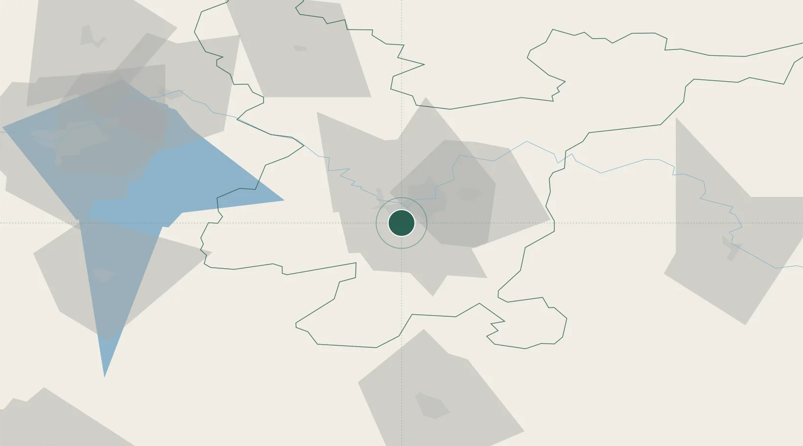
Vilnius
Time zone
Europe/Vilnius
Elevation
125 m
Location
Nearby Logistics Neighbours
Cities
- 1Vilnius5 km
- 2Senieji Trakai13 km
- 3Vilnius13 km
- 4Vievis30 km
- 5Kena35 km
Ports
- 1Riga270 km
- 2Klaipeda286 km
- 3Kaliningrad301 km
- 4Butinge Oil Terminal311 km
- 5Liepaja337 km
Airports
- 1Vilnius International Airport9 km
- 2Jonava Air Base69 km
- 3Kaunas International Airport80 km
- 4Kėdainiai Air Base111 km
- 5Hrodna Airport133 km
Trade Zones
DatabookThe Record of Consolidated Knowledge
Lithuania beyond logistics?