Medium airport · Belarus
Hrodna AirportUMMG
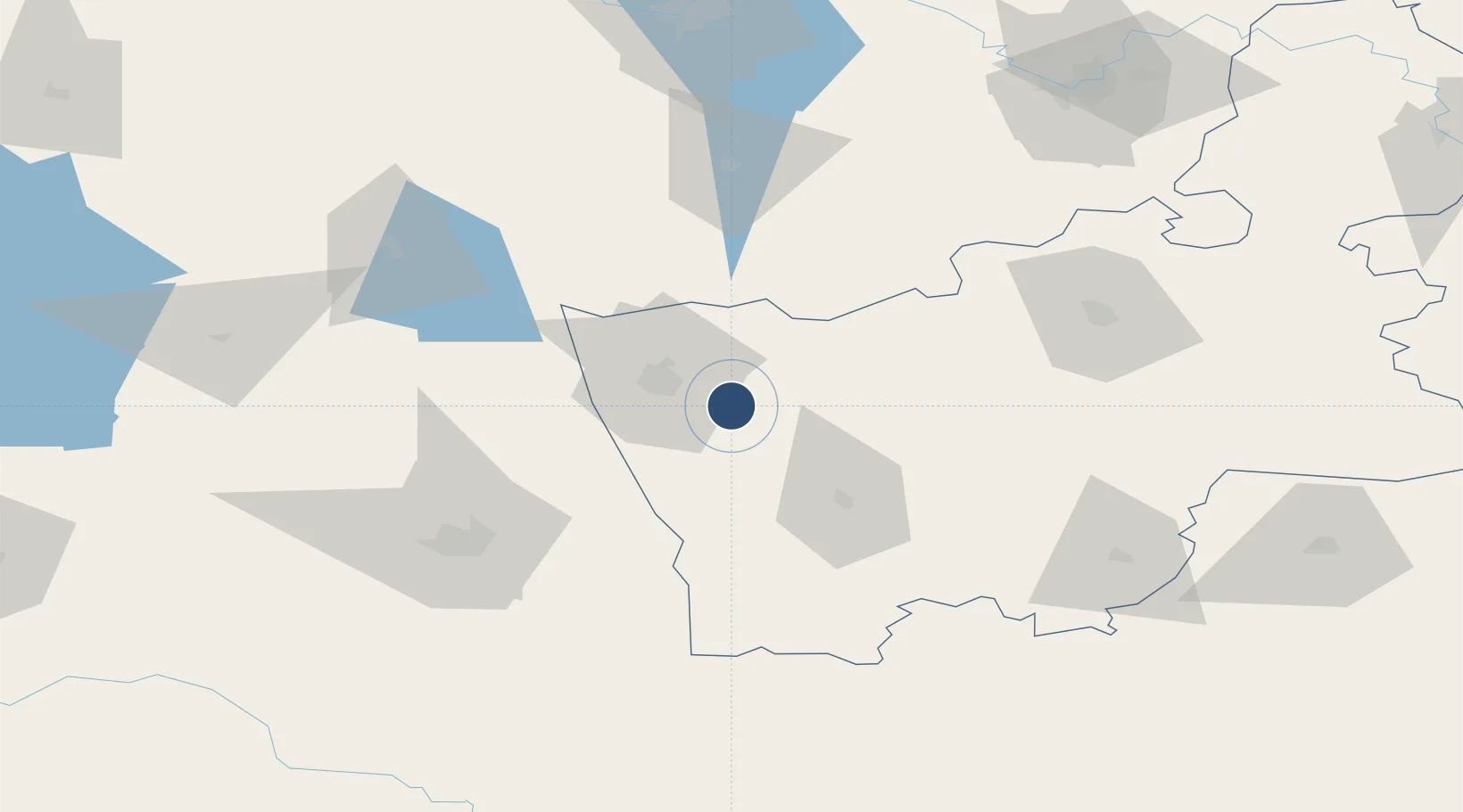
53.6020°, 24.0538°
8,399 ft
Longest runway
2
Runways
443 ft
Elevation
Runway & Layout

Radio Frequencies
APP
134.5 MHz
Navaids
GP NDB Grodno 452 kHz
WF NDB Grodno 452 kHz
Runways · 2
| Runway | Dimensions | Surface | True heading | Lit |
|---|---|---|---|---|
| 17/35 | 8,399 × 138ft | Concrete | 178° | ✓ |
| 09/27 | 2,172 × 92ft | Asphalt | 089° | — |
Airport Specifications
IATA code
GNA
ICAO code
UMMG
Airport class
Medium airport
Scheduled service
No
Runway surface
Concrete
Served city
Hrodna
Location
Nearby Logistics Neighbours
Airports
- 1Osovtsy Air Base129 km
- 2Vilnius International Airport140 km
- 3Baranavichi Air Base144 km
- 4Kaunas International Airport152 km
- 5Jonava Air Base158 km
Cities
- 1Grodno16 km
- 2Kuznica Bialostocka29 km
- 3Shchuchyn45 km
- 4Dabrowa Bialostocka47 km
- 5Vawkavysk56 km
Ports
- 1Kaliningrad263 km
- 2Baltiysk294 km
- 3Klaipeda302 km
- 4Butinge Oil Terminal336 km
- 5Gdansk362 km
Trade Zones
DatabookThe Record of Consolidated Knowledge
Belarus beyond logistics?