UN/LOCODE hub · Lithuania
LTKEN

Kena

54.6500°, 25.7000°
400
Population
3
Transport functions

Transport Functions

Rail
Road
Border Crossing
UN/LOCODE

Hub Profile

Place type
Populated place
GeoNames
Region
Vilnius
GeoNames
Population
400
GeoNames
Time zone
Europe/Vilnius
GeoNames
Elevation
160 m
GeoNames

Location

Location of LTKEN
Natural Earth 10m (public domain) · Vilnius · LTKEN · 54.65, 25.70GoogleOSMYandex

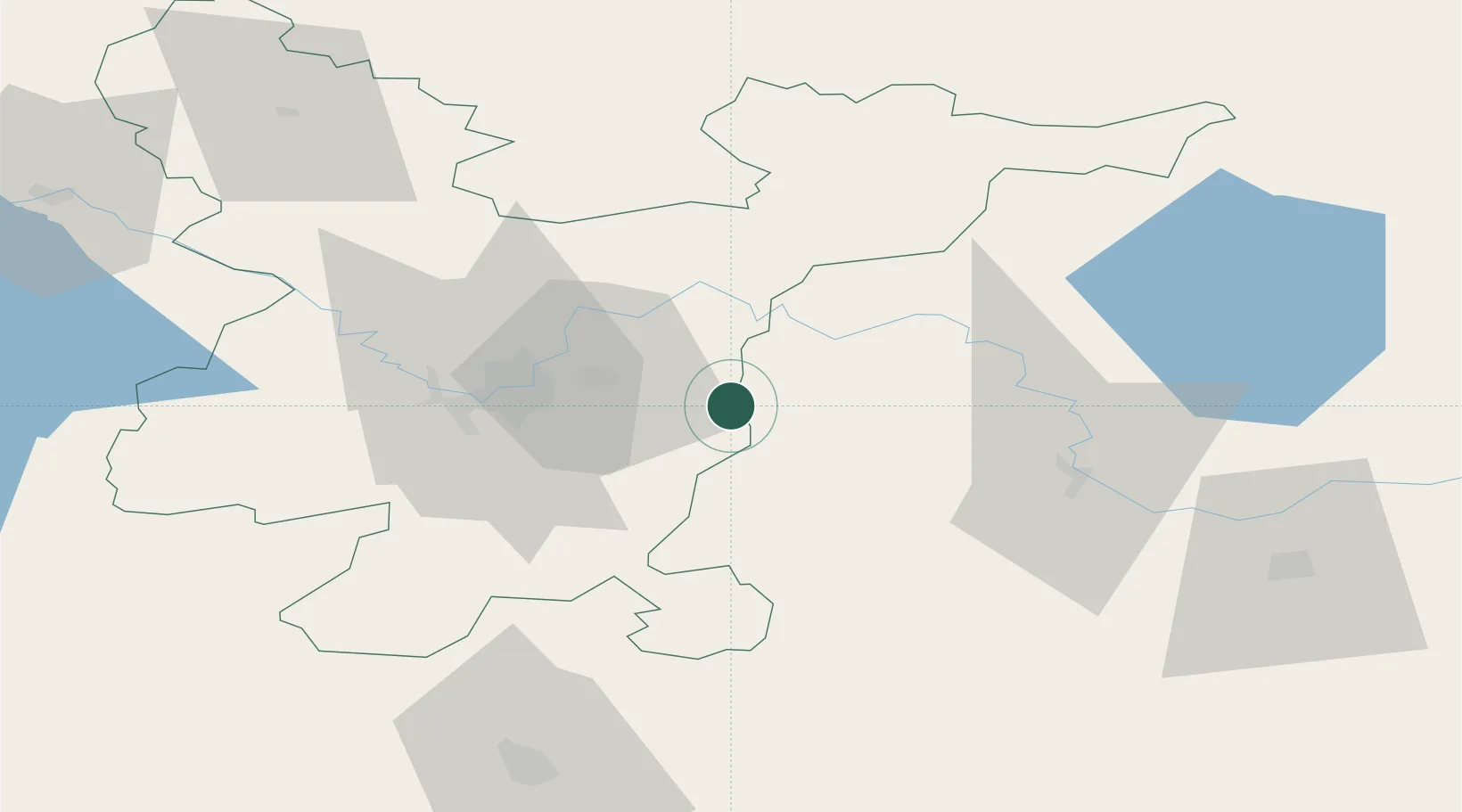
Nearby Logistics Neighbours

Cities
  1. 1Vilnius25 km
  2. 2Vilnius31 km
  3. 3Vaidotai35 km
  4. 4Pabrade37 km
  5. 5Salcininkai45 km
Nearest neighbours — logibook spatial index (haversine) over the source coordinates
Ports
  1. 1Riga275 km
  2. 2Klaipeda314 km
  3. 3Kaliningrad335 km
  4. 4Butinge Oil Terminal337 km
  5. 5Salacgriva349 km
Nearest neighbours — logibook spatial index (haversine) over the source coordinates
Airports
  1. 1Vilnius International Airport27 km
  2. 2Jonava Air Base95 km
  3. 3Kaunas International Airport109 km
  4. 4Kėdainiai Air Base133 km
  5. 5Panevėžys Air Base144 km
Nearest neighbours — logibook spatial index (haversine) over the source coordinates
Trade Zones
  1. 1Kaunas Free Economic Zone113 km
  2. 2Kėdainiai Free Economic Zone129 km
  3. 3Panevėžys Free Economic Zone131 km
  4. 4Marijampolė Free Economic Zone157 km
  5. 5Free Economic Zone Grodnoinvest162 km
Nearest neighbours — logibook spatial index (haversine) over the source coordinates
DatabookThe Record of Consolidated Knowledge
Lithuania beyond logistics?
Browse databook

All Sources

LocationsUN/LOCODE
UN/LOCODE — free
LocationsGeoNames
CC BY 4.0
Portsthe NGA World Port Index
Public domain (US gov)
AirportsOurAirports
Public domain
Trade Zonesthe World Bank SEZ database
CC BY 4.0
Trade ZonesOpen Zone Map
CC BY
← Lithuania locations