Medium airport · Lithuania

Kėdainiai Air BaseEYKD
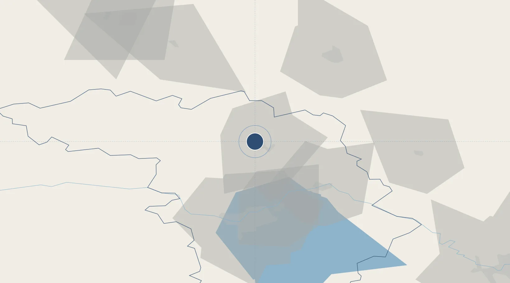
55.3117°, 23.9564°
6,562 ft
Longest runway
1
Runways
171 ft
Elevation

Runway & Layout

Kėdainiai Air Base runway & taxiway layout
Runway & taxiway layout — OpenStreetMap (ODbL) / OurAirports

Runways · 1

RunwayDimensions SurfaceTrue headingLit
16/34 6,562 × 164ft Asphalt
OurAirports

Airport Specifications

ICAO code
EYKD
OurAirports
Airport class
Medium airport
OurAirports
Scheduled service
No
OurAirports
Runway surface
Asphalt
OurAirports
Served city
Kėdainiai
OurAirports

Location

Location of EYKD
Natural Earth 10m (public domain) · Kauno · EYKD · 55.31, 23.96GoogleOSMYandex

Nearby Logistics Neighbours

Airports
  1. 1Kaunas International Airport40 km
  2. 2Jonava Air Base42 km
  3. 3Panevėžys Air Base56 km
  4. 4Šiauliai International Airport74 km
  5. 5Barysiai Airfield88 km
Nearest neighbours — logibook spatial index (haversine) over the source coordinates
Cities
  1. 1Jonava34 km
  2. 2Ukmerge52 km
  3. 3Raseiniai54 km
  4. 4Tytuvenai58 km
  5. 5Kaisiadorys59 km
Nearest neighbours — logibook spatial index (haversine) over the source coordinates
Ports
  1. 1Riga182 km
  2. 2Klaipeda184 km
  3. 3Butinge Oil Terminal205 km
  4. 4Liepaja227 km
  5. 5Kaliningrad232 km
Nearest neighbours — logibook spatial index (haversine) over the source coordinates
Trade Zones
  1. 1Kėdainiai Free Economic Zone6 km
  2. 2Panevėžys Free Economic Zone20 km
  3. 3Kaunas Free Economic Zone41 km
  4. 4ō iauliai Free Economic Zone75 km
  5. 5Marijampolė Free Economic Zone96 km
Nearest neighbours — logibook spatial index (haversine) over the source coordinates
DatabookThe Record of Consolidated Knowledge
Lithuania beyond logistics?
Browse databook

All Sources

AirportsOurAirports
Public domain
Portsthe NGA World Port Index
Public domain (US gov)
LocationsUN/LOCODE
UN/LOCODE — free
Trade Zonesthe World Bank SEZ database
CC BY 4.0
Trade ZonesOpen Zone Map
CC BY
InfrastructureOpenStreetMap
ODbL 1.0
← Lithuania airports