Transport Functions
Rail
Road
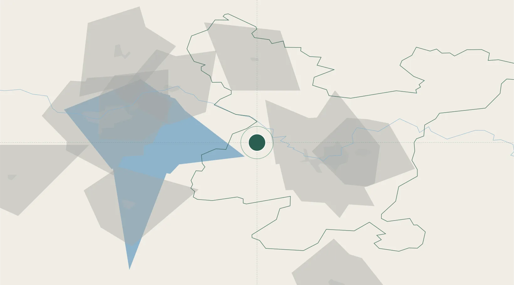
Hub Profile
Place type
Populated place
Region
Vilnius
Population
4,521
Time zone
Europe/Vilnius
Elevation
122 m
Location
Nearby Logistics Neighbours
Cities
- 1Senieji Trakai20 km
- 2Kaisiadorys25 km
- 3Sirvintos30 km
- 4Vaidotai30 km
- 5Vilnius34 km
Ports
- 1Riga247 km
- 2Klaipeda256 km
- 3Kaliningrad277 km
- 4Butinge Oil Terminal281 km
- 5Liepaja307 km
Airports
- 1Vilnius International Airport35 km
- 2Jonava Air Base39 km
- 3Kaunas International Airport51 km
- 4Kėdainiai Air Base81 km
- 5Panevėžys Air Base109 km
Trade Zones
DatabookThe Record of Consolidated Knowledge
Lithuania beyond logistics?