Transport Functions
Multimodal
Hub Profile
Place type
Populated place
Region
Kaunas
Time zone
Europe/Vilnius
Elevation
100 m
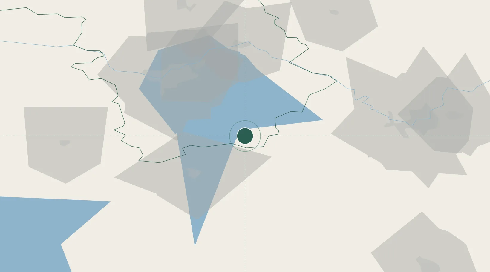
Location
Nearby Logistics Neighbours
Cities
- 1Kaisiadorys31 km
- 2Vievis36 km
- 3Senieji Trakai42 km
- 4Varena46 km
- 5Jonava52 km
Ports
- 1Klaipeda238 km
- 2Kaliningrad247 km
- 3Riga262 km
- 4Butinge Oil Terminal266 km
- 5Liepaja297 km
Airports
- 1Kaunas International Airport43 km
- 2Jonava Air Base46 km
- 3Vilnius International Airport63 km
- 4Kėdainiai Air Base82 km
- 5Hrodna Airport112 km
Trade Zones
DatabookThe Record of Consolidated Knowledge
Lithuania beyond logistics?