Runway & Layout

Runways · 1
| Runway | Dimensions | Surface | True heading | Lit |
|---|---|---|---|---|
| 04/22 | 9,836 × 164ft | Concrete | — | ✓ |
Airport Specifications
ICAO code
UMMA
Airport class
Medium airport
Scheduled service
No
Runway surface
Concrete
Served city
Baranavichi
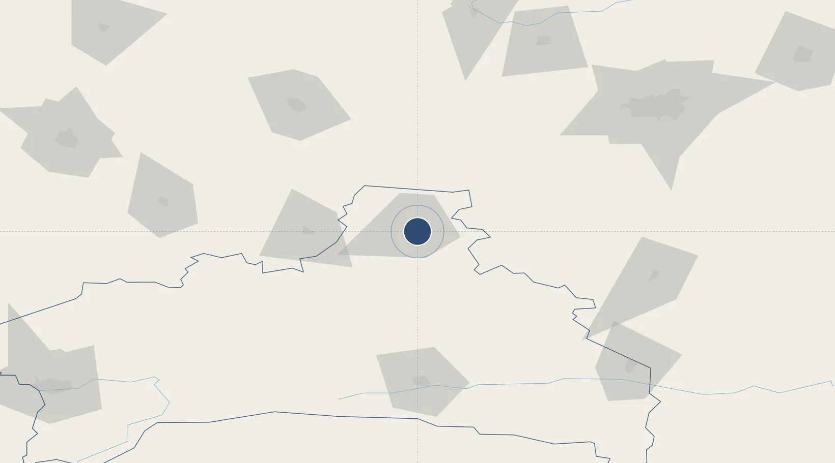
Location
Nearby Logistics Neighbours
Airports
- 1Osovtsy Air Base99 km
- 2Hrodna Airport144 km
- 3Minsk National Airport158 km
- 4Vilnius International Airport178 km
- 5Brest International Airport183 km
Ports
- 1Kaliningrad406 km
- 2Klaipeda432 km
- 3Riga446 km
- 4Butinge Oil Terminal463 km
- 5Liepaja498 km
Trade Zones
DatabookThe Record of Consolidated Knowledge
Belarus beyond logistics?