Transport Functions
Rail
Road
Hub Profile
Place type
Provincial seat
Region
Alytus
Population
7,892
Time zone
Europe/Vilnius
Elevation
128 m
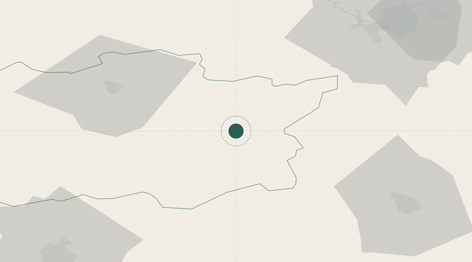
Location
Nearby Logistics Neighbours
Cities
- 1Stakliskes46 km
- 2Senieji Trakai52 km
- 3Salcininkai53 km
- 4Vaidotai58 km
- 5Vilnius59 km
Ports
- 1Kaliningrad269 km
- 2Klaipeda276 km
- 3Riga305 km
- 4Butinge Oil Terminal306 km
- 5Liepaja340 km
Airports
- 1Vilnius International Airport66 km
- 2Hrodna Airport76 km
- 3Kaunas International Airport89 km
- 4Jonava Air Base89 km
- 5Kėdainiai Air Base128 km
Trade Zones
DatabookThe Record of Consolidated Knowledge
Lithuania beyond logistics?