Transport Functions
Rail
Road
Hub Profile
Place type
Provincial seat
Region
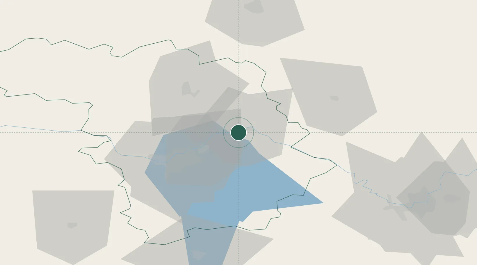
Kaunas
Population
26,423
Time zone
Europe/Vilnius
Elevation
67 m
Location
Nearby Logistics Neighbours
Cities
- 1Kaisiadorys25 km
- 2Ukmerge38 km
- 3Sirvintos45 km
- 4Vievis48 km
- 5Stakliskes52 km
Ports
- 1Riga210 km
- 2Klaipeda212 km
- 3Butinge Oil Terminal235 km
- 4Kaliningrad245 km
- 5Liepaja259 km
Airports
- 1Jonava Air Base9 km
- 2Kaunas International Airport16 km
- 3Kėdainiai Air Base34 km
- 4Panevėžys Air Base75 km
- 5Vilnius International Airport81 km
Trade Zones
DatabookThe Record of Consolidated Knowledge
Lithuania beyond logistics?