Transport Functions
Rail
Road
Multimodal
Hub Profile
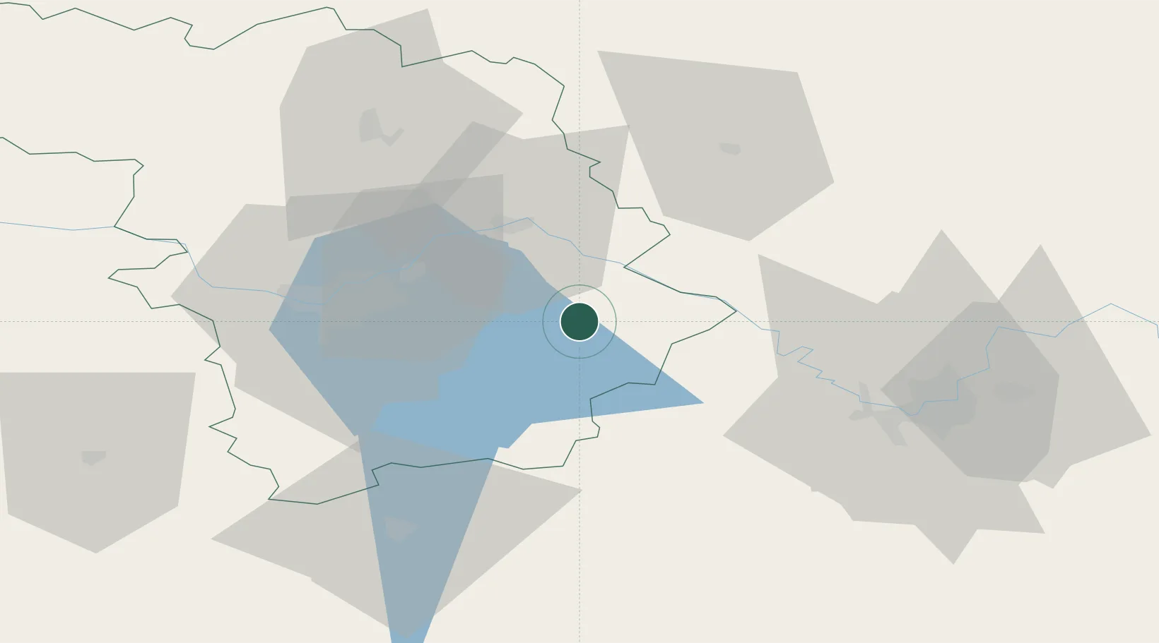
Place type
Provincial seat
Region
Kaunas
Population
9,867
Time zone
Europe/Vilnius
Elevation
82 m
Location
Nearby Logistics Neighbours
Cities
- 1Vievis25 km
- 2Jonava25 km
- 3Stakliskes31 km
- 4Sirvintos37 km
- 5Senieji Trakai43 km
Ports
- 1Klaipeda231 km
- 2Riga233 km
- 3Kaliningrad255 km
- 4Butinge Oil Terminal256 km
- 5Liepaja283 km
Airports
- 1Jonava Air Base17 km
- 2Kaunas International Airport26 km
- 3Kėdainiai Air Base59 km
- 4Vilnius International Airport60 km
- 5Panevėžys Air Base96 km
Trade Zones
DatabookThe Record of Consolidated Knowledge
Lithuania beyond logistics?