Transport Functions
Road
Multimodal
Hub Profile
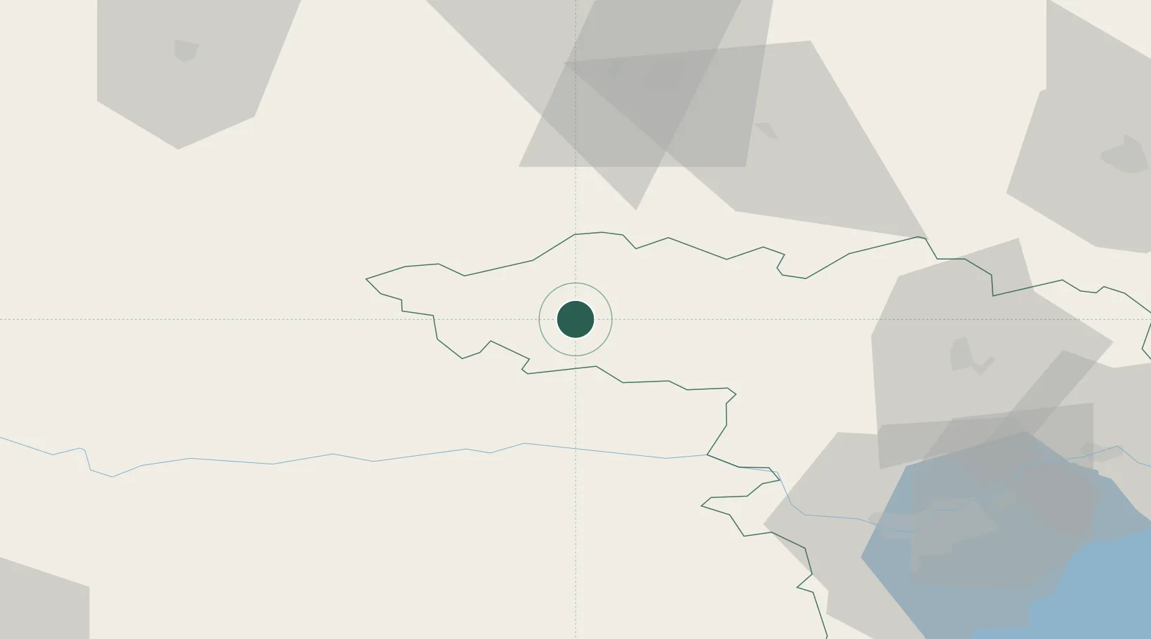
Place type
Provincial seat
Region
Kaunas
Population
9,686
Time zone
Europe/Vilnius
Elevation
93 m
Location
Nearby Logistics Neighbours
Cities
- 1Nemaksciai22 km
- 2Tytuvenai25 km
- 3Tauragé55 km
- 4Radviliskis55 km
- 5Micaiciai66 km
Ports
- 1Klaipeda131 km
- 2Butinge Oil Terminal154 km
- 3Liepaja182 km
- 4Kaliningrad184 km
- 5Riga185 km
Airports
- 1Kėdainiai Air Base54 km
- 2Šiauliai International Airport59 km
- 3Kaunas International Airport77 km
- 4Barysiai Airfield81 km
- 5Jonava Air Base89 km
Trade Zones
DatabookThe Record of Consolidated Knowledge
Lithuania beyond logistics?