Transport Functions
Rail
Road
Hub Profile
Place type
Populated place
Region
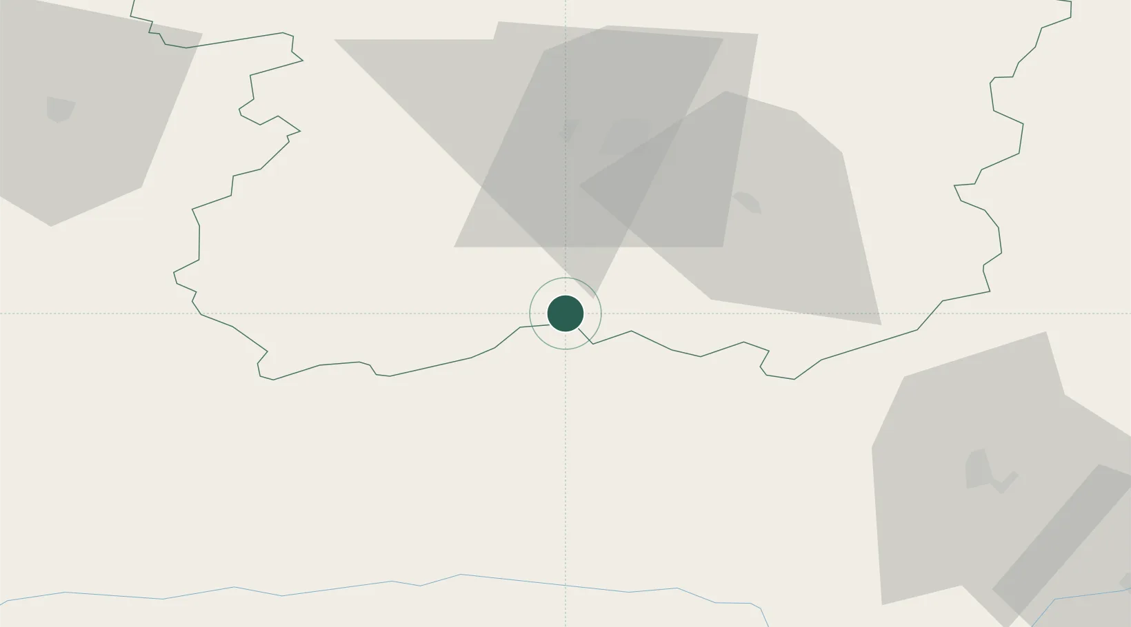
Siauliai
Population
1,805
Time zone
Europe/Vilnius
Elevation
134 m
Location
Nearby Logistics Neighbours
Cities
- 1Raseiniai25 km
- 2Radviliskis32 km
- 3Nemaksciai34 km
- 4Micaiciai45 km
- 5Kursénai46 km
Ports
- 1Klaipeda131 km
- 2Butinge Oil Terminal149 km
- 3Riga160 km
- 4Liepaja170 km
- 5Kaliningrad200 km
Airports
- 1Šiauliai International Airport35 km
- 2Barysiai Airfield57 km
- 3Kėdainiai Air Base58 km
- 4Panevėžys Air Base80 km
- 5Kaunas International Airport90 km
Trade Zones
DatabookThe Record of Consolidated Knowledge
Lithuania beyond logistics?