Transport Functions
Rail
Road
Multimodal
Hub Profile
Place type
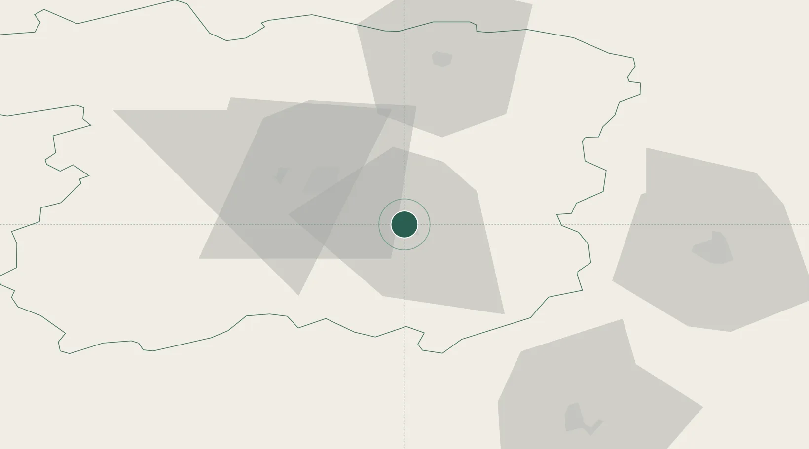
Populated place
Region
Siauliai
Population
16,344
Time zone
Europe/Vilnius
Elevation
124 m
Location
Nearby Logistics Neighbours
Ports
- 1Riga131 km
- 2Klaipeda152 km
- 3Butinge Oil Terminal163 km
- 4Liepaja174 km
- 5Ventspils214 km
Airports
- 1Šiauliai International Airport12 km
- 2Barysiai Airfield28 km
- 3Panevėžys Air Base59 km
- 4Kėdainiai Air Base62 km
- 5Kaunas International Airport101 km
Trade Zones
DatabookThe Record of Consolidated Knowledge
Lithuania beyond logistics?