Transport Functions
Rail
Road
Hub Profile
Place type
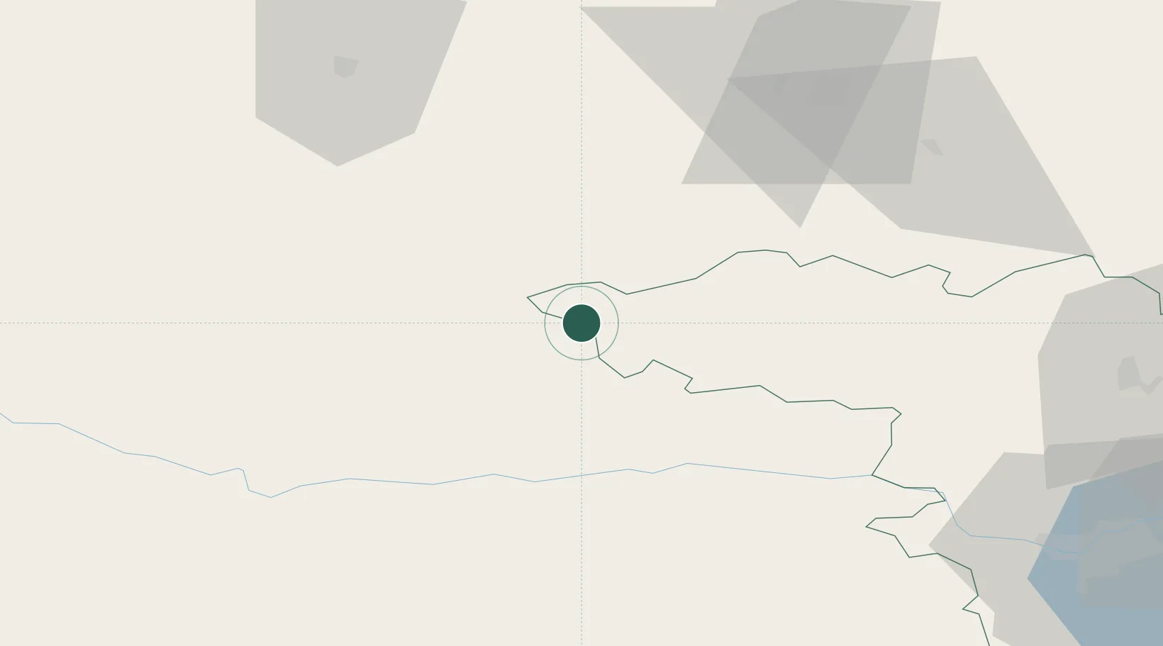
Populated place
Region
Kaunas
Time zone
Europe/Vilnius
Elevation
109 m
Location
Nearby Logistics Neighbours
Ports
- 1Klaipeda109 km
- 2Butinge Oil Terminal133 km
- 3Liepaja164 km
- 4Kaliningrad166 km
- 5Riga189 km
Airports
- 1Šiauliai International Airport66 km
- 2Kėdainiai Air Base76 km
- 3Barysiai Airfield88 km
- 4Kaunas International Airport98 km
- 5Chernyakhovsk Naval Air Base110 km
Trade Zones
DatabookThe Record of Consolidated Knowledge
Lithuania beyond logistics?