Transport Functions
Rail
Road
Hub Profile
Place type
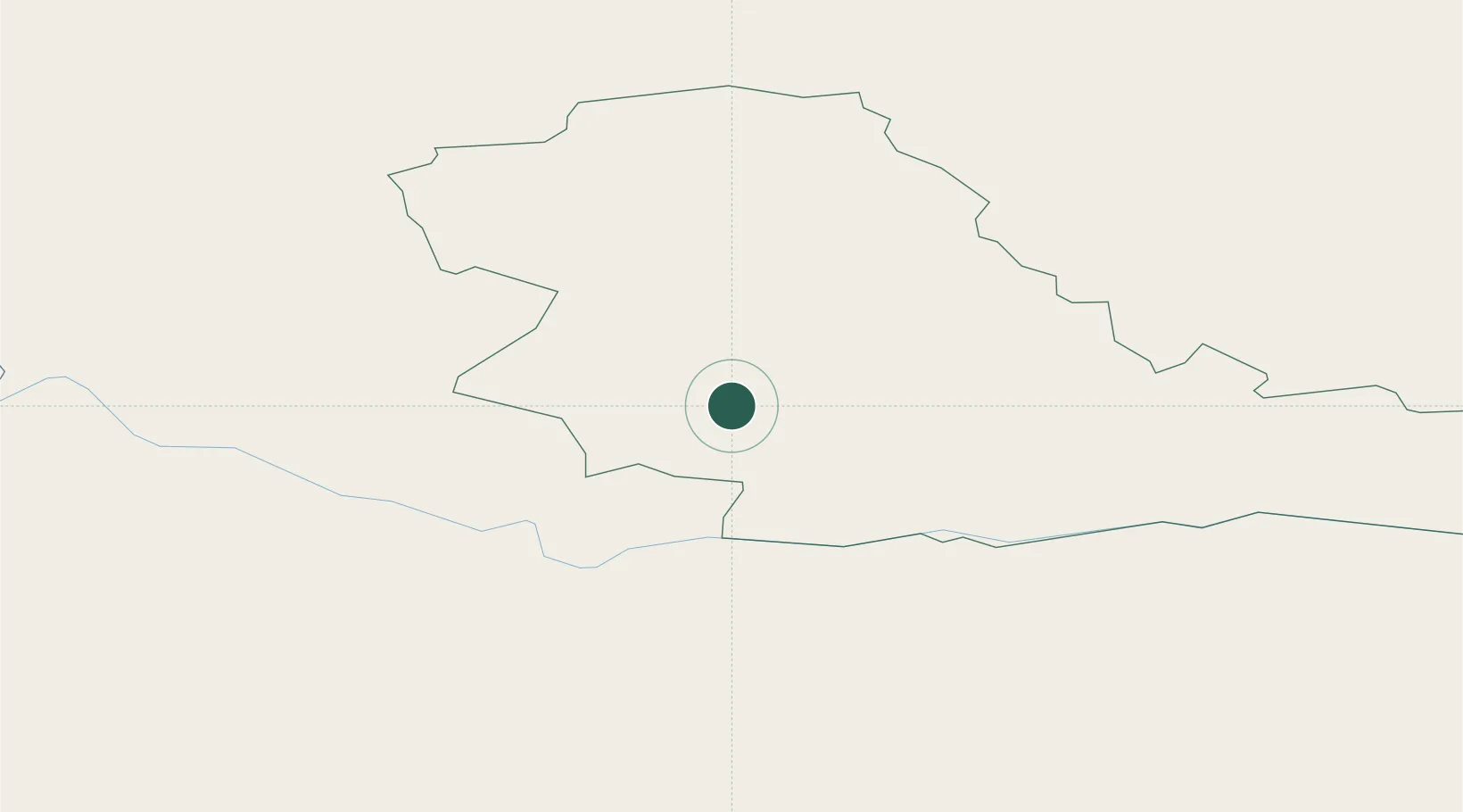
Regional capital
Region
Tauragė County
Population
21,203
Time zone
Europe/Vilnius
Elevation
36 m
Location
Nearby Logistics Neighbours
Cities
- 1Pagegiai28 km
- 2Neman30 km
- 3Sovetsk33 km
- 4Nemaksciai36 km
- 5Silute53 km
Ports
- 1Klaipeda90 km
- 2Butinge Oil Terminal121 km
- 3Kaliningrad130 km
- 4Liepaja162 km
- 5Baltiysk167 km
Airports
- 1Chernyakhovsk Naval Air Base79 km
- 2Šiauliai International Airport100 km
- 3Kėdainiai Air Base106 km
- 4Palanga International Airport110 km
- 5Khrabrovo Airport115 km
Trade Zones
DatabookThe Record of Consolidated Knowledge
Lithuania beyond logistics?