Seaport · Dominica
RoseauDMRSU
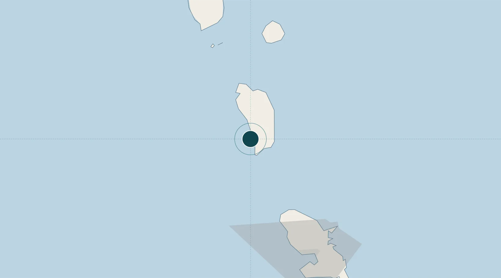
15.3000°, -61.4000°
23.2 m
Channel depth
1
Container terminals
43.7
Port liner connectivity
Channel & Berth Profile
Pilotage, Tugs & Services
Pilotage compulsoryYES
Pilotage availableYES
Tug assistanceNO
Salvage tugsNO
Potable waterYES
Diesel bunkersYES
MedicalYES
Garbage disposalYES
Facilities & Capabilities
ContainerYES
Ro-RoYES
Liquid bulkYES
Dry bulkYES
Oil terminal—
Break bulk—
Dry dock—
RepairsNO
Bunkering—
Rail link—
Dangerous cargo—
ISPS securityYES
Harbour Specifications
Harbour size
Very Small
Harbour type
Coastal (Natural)
Shelter
Fair
Water body
Caribbean Sea; North Atlantic Ocean
Tidal range
1.8 m
Overhead limit
No
Pilotage
Yes
Liner Connectivity
43.7
PLSCI
Port Liner Shipping Connectivity Index for Roseau, as published by UNCTAD for the latest available quarter. Higher values indicate stronger scheduled liner-shipping integration.
Shown relative to the highest per-port PLSCI in the dataset (1,657.9).
Location
Container Terminals · 1
WOODBRIDGE BAY PORT ROSEAU
WRBP DOMINICA AIR AND SEA PORTS AUTHORITY (DASPA)
Nearby Logistics Neighbours
Ports
- 1Portsmouth31 km
- 2Basse Terre86 km
- 3Fort De France86 km
- 4Pointe A Pitre105 km
- 5Port Louis125 km
Cities
- 1Portsmouth30 km
- 2Anse du Mai33 km
- 3Le Precheur58 km
- 4Grand-Bourg66 km
- 5Le Marigot67 km
Airports
DatabookThe Record of Consolidated Knowledge
Dominica beyond logistics?