UN/LOCODE hub · Martinique
MQQPC

Port de Fort-de-France Pt.
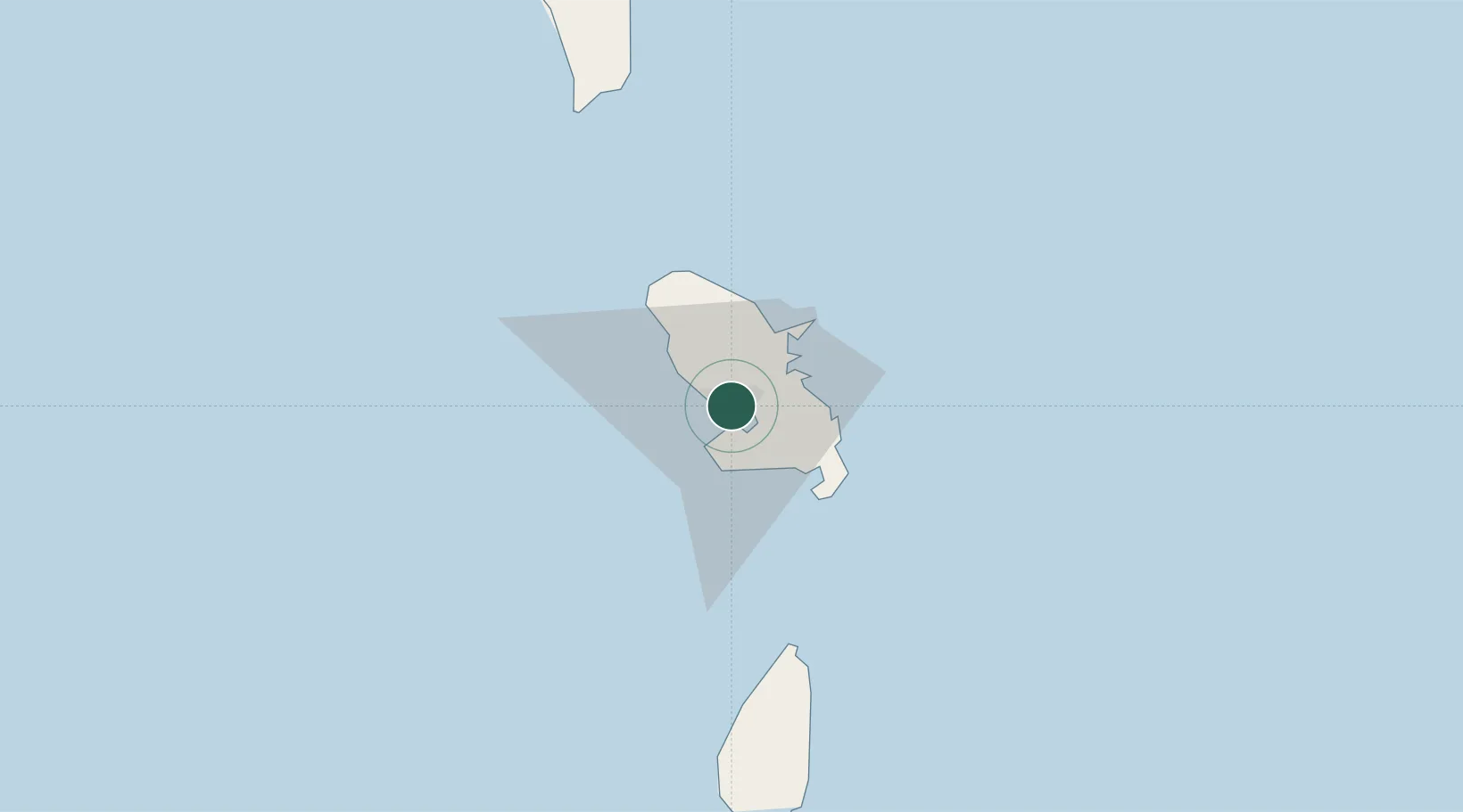
14.6000°, -61.0500°
2
Transport functions

Transport Functions

Port
Road
UN/LOCODE

Location

Location of MQQPC
Natural Earth 10m (public domain) · Martinique · MQQPC · 14.60, -61.05GoogleOSMYandex

Nearby Logistics Neighbours

Cities
  1. 1Fort-de-France0 km
  2. 2Case-Pilote10 km
  3. 3Les Anses-d'Arlet14 km
  4. 4Le Robert15 km
  5. 5Le François18 km
Nearest neighbours — logibook spatial index (haversine) over the source coordinates
Ports
  1. 1Fort De France2 km
  2. 2Castries65 km
  3. 3Grand Cul De Sac Bay69 km
  4. 4Roseau86 km
  5. 5Vieux Fort99 km
Nearest neighbours — logibook spatial index (haversine) over the source coordinates
Airports
  1. 1Martinique Aimé Césaire International Airport5 km
  2. 2George F. L. Charles Airport65 km
  3. 3Canefield Airport90 km
  4. 4Hewanorra International Airport97 km
  5. 5Douglas-Charles Airport109 km
Nearest neighbours — logibook spatial index (haversine) over the source coordinates

All Sources

LocationsUN/LOCODE
UN/LOCODE — free
Portsthe NGA World Port Index
Public domain (US gov)
AirportsOurAirports
Public domain
Trade Zonesthe World Bank SEZ database
CC BY 4.0
Trade ZonesOpen Zone Map
CC BY
← Martinique locations