Industrial Complex · South Korea

Songtan General Industrial Complex
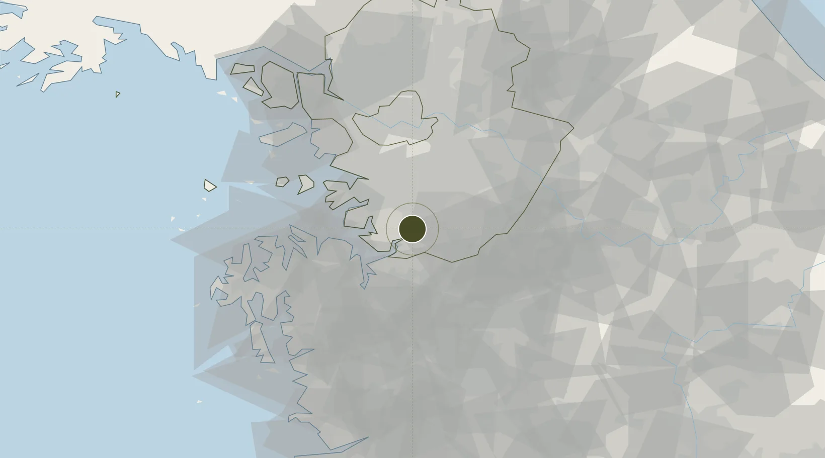
37.0353°, 127.0751°
109 ha
Zone area
24.7 km
Nearest port
7.4 km
Nearest airport

Gateway access

Nearest neighbours — logibook spatial index (haversine) over the source coordinates

Zone profile

Zone type
Industrial Complex
the World Bank SEZ database
Region
Gyeonggi
the World Bank SEZ database
Established
1991
the World Bank SEZ database
Management
PPP
the World Bank SEZ database
Operator
Pyongtaek Industrial Complex Corp. and Pyeongtaek-si city administration
the World Bank SEZ database
Regulatory authority
National, provincial or city-level governments
the World Bank SEZ database
Legal framework
Industrial Sites and Development Act, and the Industrial Placement and Factory Act
the World Bank SEZ database

Location

Location of KOR103
Natural Earth 10m (public domain) · Gyeonggi · KOR103 · 37.04, 127.08GoogleOSMYandex

Fiscal & incentives

Corporate tax
22%
the World Bank SEZ database
Tax relief
100% exempt
the World Bank SEZ database
Relief duration
5 years
the World Bank SEZ database
VAT
No exemption
the World Bank SEZ database
Import duty (inputs)
0% exempt
the World Bank SEZ database
Import duty (capex)
100% exempt
the World Bank SEZ database
Profit repatriation
No exemption
the World Bank SEZ database
Capital gains
No exemption
the World Bank SEZ database
Withholding tax
No exemption
the World Bank SEZ database
Min. investment
$30M
the World Bank SEZ database
Min. export
0%
the World Bank SEZ database
Employment incentive
Employment and training subsidies available to companies that newly employ 20 more individuals
the World Bank SEZ database
Developer incentive
No established framework
the World Bank SEZ database

Nearby Logistics Neighbours

Ports
  1. 1Pyeongtaek Hang25 km
  2. 2Daesan Hang60 km
  3. 3Inchon63 km
  4. 4Kunsan124 km
  5. 5Haeju Hang162 km
Nearest neighbours — logibook spatial index (haversine) over the source coordinates
Airports
  1. 1Osan Air Base7 km
  2. 2Camp Humphreys (A-511) Desiderio Army Airfield9 km
  3. 3Suwon Airport24 km
  4. 4Seoul Air Base (K-16)46 km
  5. 5Cheongju International Airport/Cheongju Air Base (K-59/G-513)52 km
Nearest neighbours — logibook spatial index (haversine) over the source coordinates
Cities
  1. 1Songtan4 km
  2. 2Anseong18 km
  3. 3Pyeongtaek22 km
  4. 4Cheonan24 km
  5. 5Suwon26 km
Nearest neighbours — logibook spatial index (haversine) over the source coordinates
DatabookThe Record of Consolidated Knowledge
South Korea beyond logistics?
Browse databook

All Sources

Trade Zonesthe World Bank SEZ database
CC BY 4.0
Portsthe NGA World Port Index
Public domain (US gov)
AirportsOurAirports
Public domain
LocationsUN/LOCODE
UN/LOCODE — free
← South Korea trade zones