Transport Functions
Rail
Road
Hub Profile
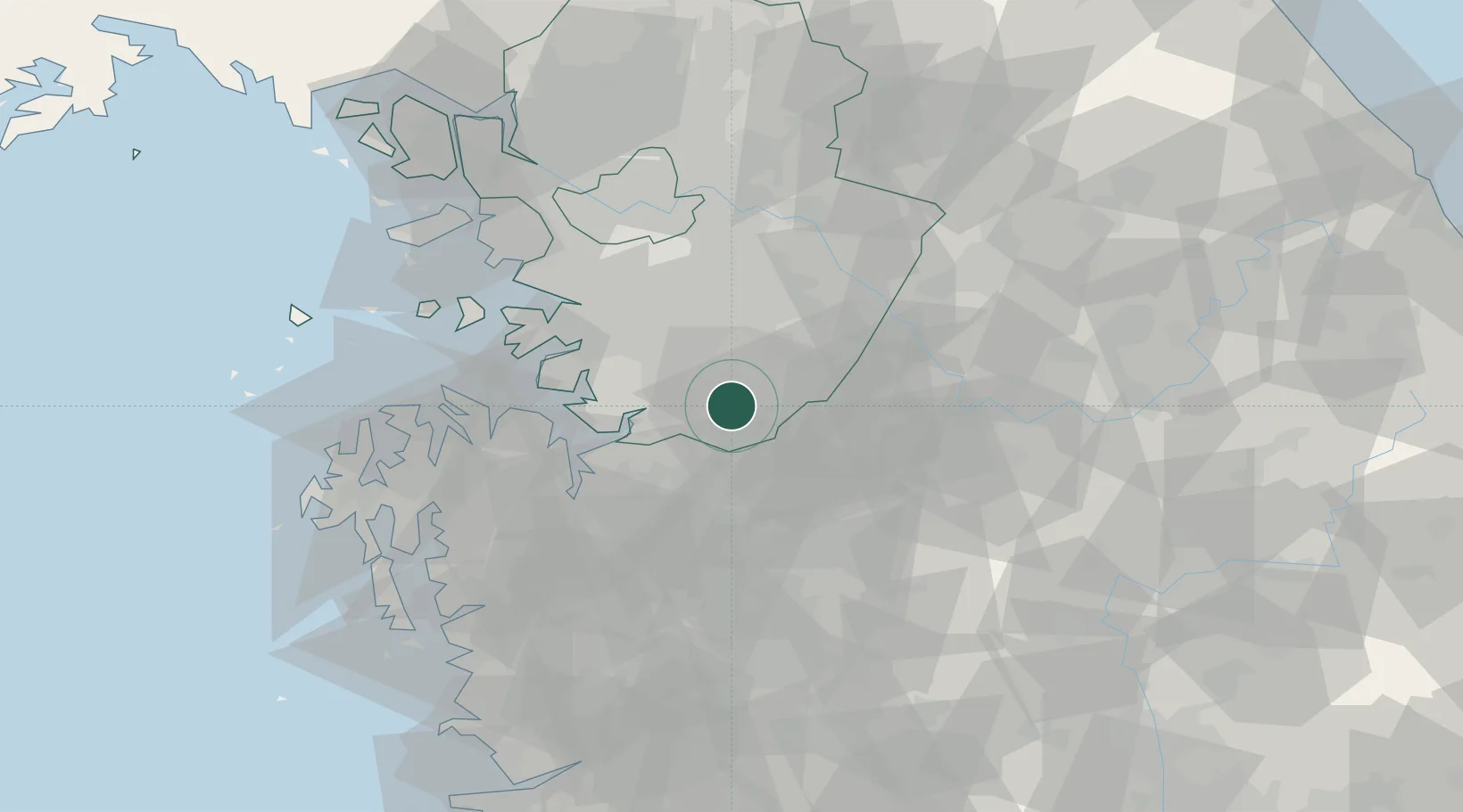
Place type
Populated place
Region
Gyeonggi-do
Population
69,255
Time zone
Asia/Seoul
Elevation
37 m
Location
Nearby Logistics Neighbours
Cities
- 1Songtan21 km
- 2Cheonan23 km
- 3Geumsan-gun31 km
- 4Icheon33 km
- 5Asan34 km
Ports
- 1Pyeongtaek Hang41 km
- 2Daesan Hang77 km
- 3Inchon78 km
- 4Kunsan127 km
- 5Mukho175 km
Airports
DatabookThe Record of Consolidated Knowledge
South Korea beyond logistics?