UN/LOCODE hub · South Korea
KRZAA

Kunpo

37.3667°, 126.9333°
1
Transport functions

Transport Functions

Multimodal
UN/LOCODE

Hub Profile

Region
41
GeoNames

Location

Location of KRZAA
Natural Earth 10m (public domain) · 41 · KRZAA · 37.37, 126.93GoogleOSMYandex

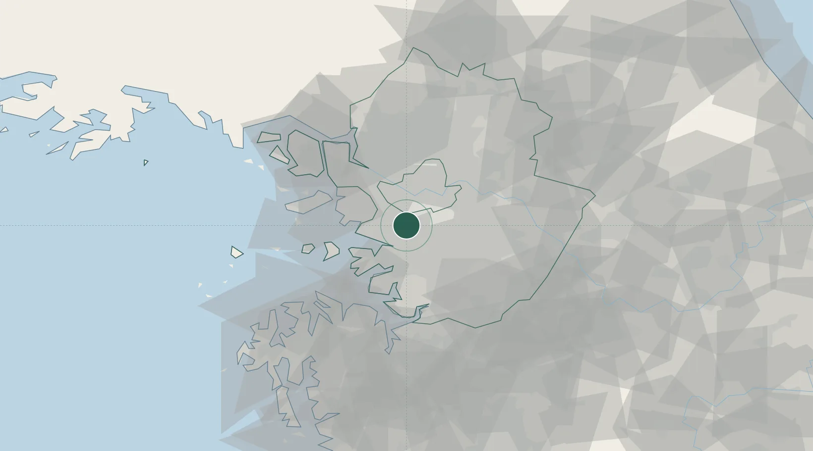
Nearby Logistics Neighbours

Cities
  1. 1Seoul2 km
  2. 2Anyang2 km
  3. 3Uiwang3 km
  4. 4Gunpo6 km
  5. 5Gwacheon7 km
Nearest neighbours — logibook spatial index (haversine) over the source coordinates
Ports
  1. 1Inchon30 km
  2. 2Pyeongtaek Hang42 km
  3. 3Daesan Hang61 km
  4. 4Haeju Hang129 km
  5. 5Kunsan156 km
Nearest neighbours — logibook spatial index (haversine) over the source coordinates
Airports
  1. 1Suwon Airport16 km
  2. 2Seoul Air Base (K-16)18 km
  3. 3Gimpo International Airport25 km
  4. 4Osan Air Base32 km
  5. 5Incheon International Airport44 km
Nearest neighbours — logibook spatial index (haversine) over the source coordinates
Trade Zones
  1. 1Banwol Ansan National Industrial Complex15 km
  2. 2Seoul Digital National Industrial Complex15 km
  3. 3Pangyo Techno Valley16 km
  4. 4Banwol Sihwa National Industrial Complex19 km
  5. 5Yangcheon Industrial Complex20 km
Nearest neighbours — logibook spatial index (haversine) over the source coordinates
DatabookThe Record of Consolidated Knowledge
South Korea beyond logistics?
Browse databook

All Sources

LocationsUN/LOCODE
UN/LOCODE — free
Portsthe NGA World Port Index
Public domain (US gov)
AirportsOurAirports
Public domain
Trade Zonesthe World Bank SEZ database
CC BY 4.0
Trade ZonesOpen Zone Map
CC BY
← South Korea locations