Transport Functions
Rail
Road
Hub Profile
Place type
Populated place
Region
Gyeonggi-do
Population
63,040
Time zone
Asia/Seoul
Elevation
38 m
Logistics facilities
2
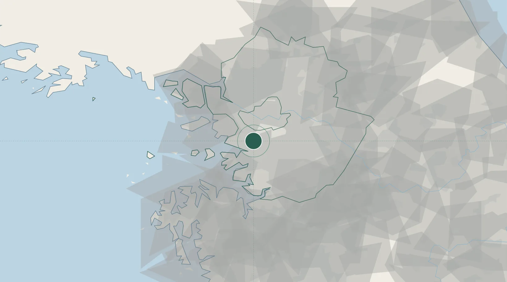
Location
Nearby Logistics Neighbours
Ports
- 1Inchon29 km
- 2Pyeongtaek Hang40 km
- 3Daesan Hang58 km
- 4Haeju Hang129 km
- 5Kunsan154 km
Airports
- 1Suwon Airport15 km
- 2Seoul Air Base (K-16)21 km
- 3Gimpo International Airport26 km
- 4Osan Air Base30 km
- 5Incheon International Airport43 km
DatabookThe Record of Consolidated Knowledge
South Korea beyond logistics?