Industrial Complex · South Korea

Banwol Sihwa National Industrial Complex
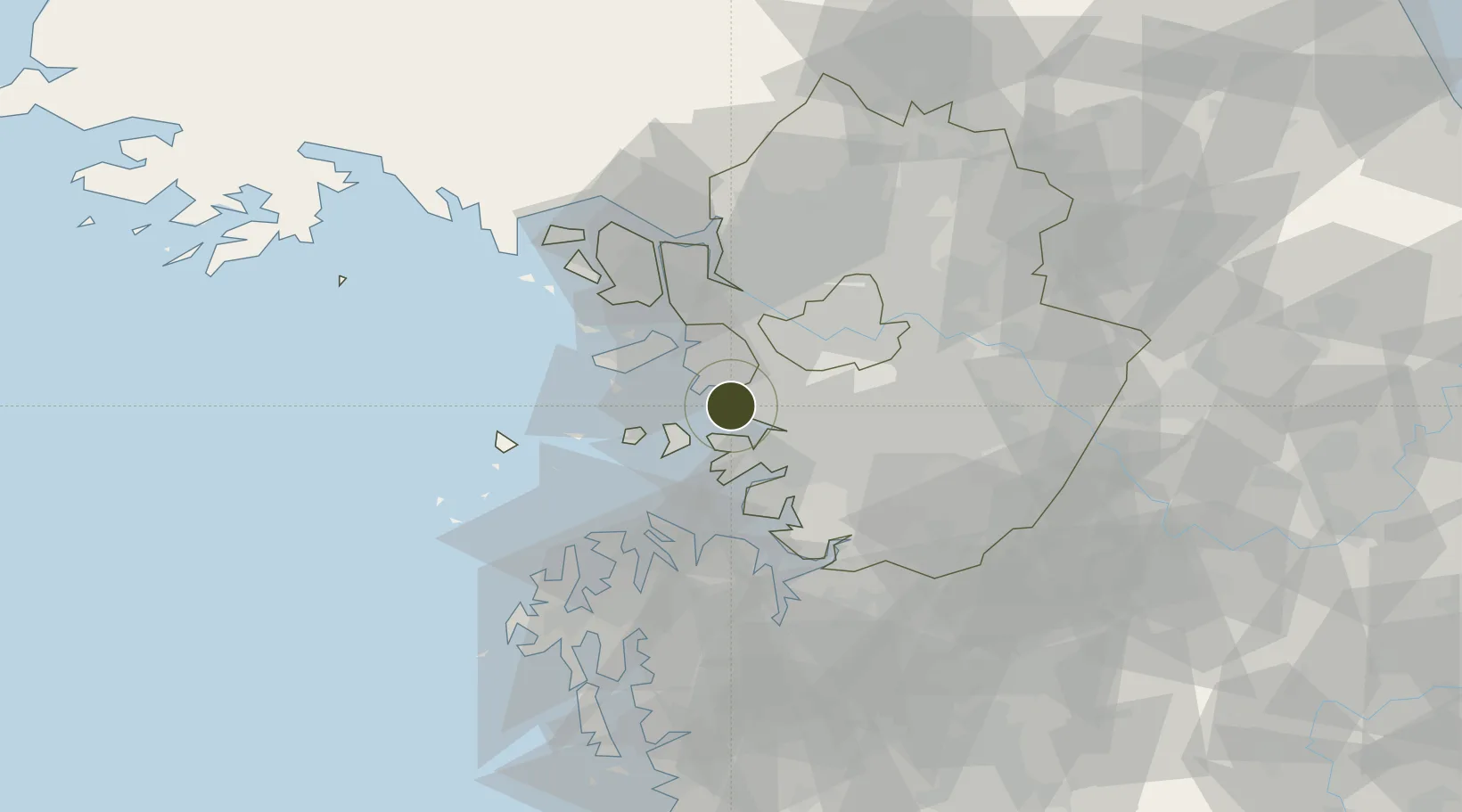
37.3346°, 126.7227°
17.4 km
Nearest port
25.6 km
Nearest airport

Gateway access

Nearest neighbours — logibook spatial index (haversine) over the source coordinates

Zone profile

Zone type
Industrial Complex
the World Bank SEZ database
Region
Gyeonggi
the World Bank SEZ database
Established
2006
the World Bank SEZ database
Management
State-owned enterprise
the World Bank SEZ database
Operator
KICOX
the World Bank SEZ database
Regulatory authority
National, provincial or city-level governments
the World Bank SEZ database
Legal framework
Industrial Sites and Development Act, and the Industrial Placement and Factory Act
the World Bank SEZ database

Location

Location of KOR7
Natural Earth 10m (public domain) · Gyeonggi · KOR7 · 37.33, 126.72GoogleOSMYandex

Fiscal & incentives

Corporate tax
22%
the World Bank SEZ database
Tax relief
100% exempt
the World Bank SEZ database
Relief duration
5 years
the World Bank SEZ database
VAT
No exemption
the World Bank SEZ database
Import duty (inputs)
0% exempt
the World Bank SEZ database
Import duty (capex)
100% exempt
the World Bank SEZ database
Profit repatriation
No exemption
the World Bank SEZ database
Capital gains
No exemption
the World Bank SEZ database
Withholding tax
No exemption
the World Bank SEZ database
Min. investment
$30M
the World Bank SEZ database
Min. export
0%
the World Bank SEZ database
Employment incentive
Employment and training subsidies available to companies that newly employ 20 more individuals
the World Bank SEZ database
Developer incentive
No established framework
the World Bank SEZ database

Nearby Logistics Neighbours

Ports
  1. 1Inchon17 km
  2. 2Pyeongtaek Hang38 km
  3. 3Daesan Hang46 km
  4. 4Haeju Hang117 km
  5. 5Kunsan151 km
Nearest neighbours — logibook spatial index (haversine) over the source coordinates
Airports
  1. 1Gimpo International Airport26 km
  2. 2Suwon Airport27 km
  3. 3Incheon International Airport28 km
  4. 4Seoul Air Base (K-16)37 km
  5. 5Osan Air Base38 km
Nearest neighbours — logibook spatial index (haversine) over the source coordinates
Cities
  1. 1Siheung8 km
  2. 2Ansan9 km
  3. 3Incheon13 km
  4. 4Uiwang17 km
  5. 5Anyang18 km
Nearest neighbours — logibook spatial index (haversine) over the source coordinates
Trade Zones
  1. 1Banwol Ansan National Industrial Complex6 km
  2. 2Namdong National Industrial Complex8 km
  3. 3Songdo International Business District9 km
  4. 4Incheon Free Economic Zone11 km
  5. 5Jeongok Maritime Industrial Complex17 km
Nearest neighbours — logibook spatial index (haversine) over the source coordinates
DatabookThe Record of Consolidated Knowledge
South Korea beyond logistics?
Browse databook

All Sources

Trade Zonesthe World Bank SEZ database
CC BY 4.0
Portsthe NGA World Port Index
Public domain (US gov)
AirportsOurAirports
Public domain
LocationsUN/LOCODE
UN/LOCODE — free
← South Korea trade zones