Transport Functions
Rail
Road
Hub Profile
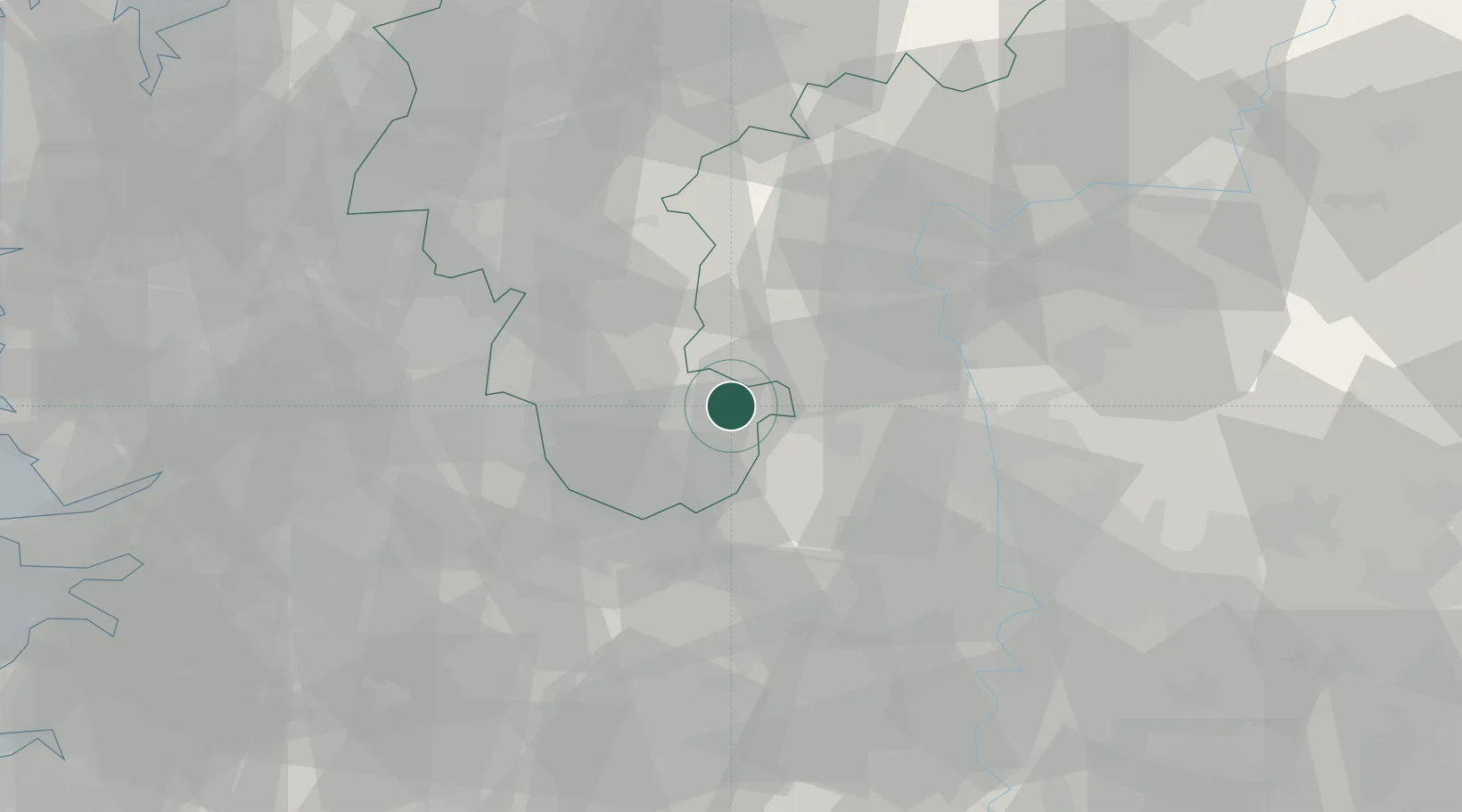
Place type
Populated place
Region
Chungcheongnam-do
Population
43,845
Time zone
Asia/Seoul
Elevation
16 m
Location
Nearby Logistics Neighbours
Cities
- 1Yeongdong-gun12 km
- 2Gimcheon18 km
- 3Sangju33 km
- 4Muju-gun34 km
- 5Okcheon-gun34 km
Ports
- 1Kunsan119 km
- 2Masan126 km
- 3Pohang133 km
- 4Chinae134 km
- 5Pyeongtaek Hang135 km
Airports
DatabookThe Record of Consolidated Knowledge
South Korea beyond logistics?