Channel & Berth Profile
Pilotage, Tugs & Services
Pilotage compulsoryNO
Tug assistanceYES
Shore powerNO
Potable waterYES
MedicalYES
Garbage disposalYES
Facilities & Capabilities
Container—
Ro-Ro—
Liquid bulk—
Dry bulk—
Oil terminal—
Break bulk—
Dry dockNO
Repairs—
Bunkering—
Rail linkYES
Dangerous cargo—
ISPS security—
Harbour Specifications
Harbour size
Small
Harbour type
Coastal (Natural)
Shelter
Fair
Water body
Korea Strait; North Pacific Ocean
Tidal range
1 m
Overhead limit
Yes
Pilotage
No
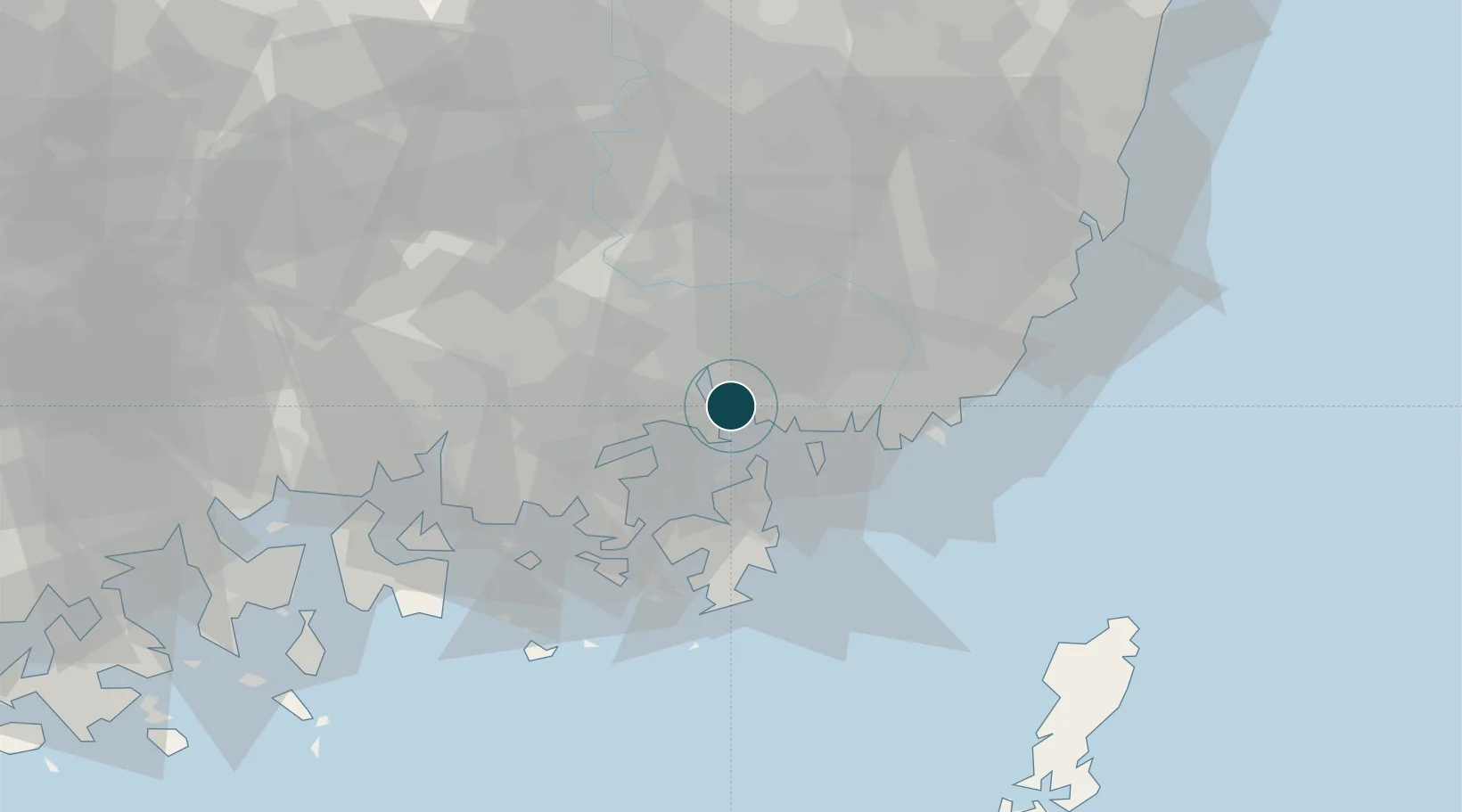
Location
Nearby Logistics Neighbours
Ports
- 1Masan9 km
- 2Busan35 km
- 3Ulsan77 km
- 4Gwangyang Hang86 km
- 5Izuhara120 km
Cities
- 1Masan11 km
- 2Busan New Port16 km
- 3Changwon17 km
- 4Koryong19 km
- 5Haman-gun27 km
Airports
- 1Gimhae International Airport27 km
- 2Sacheon Airport / Sacheon Air Base53 km
- 3Ulsan Airport82 km
- 4Daegu International Airport85 km
- 5Yeosu Airport100 km
DatabookThe Record of Consolidated Knowledge
South Korea beyond logistics?