UN/LOCODE hub · South Korea
KRKMC
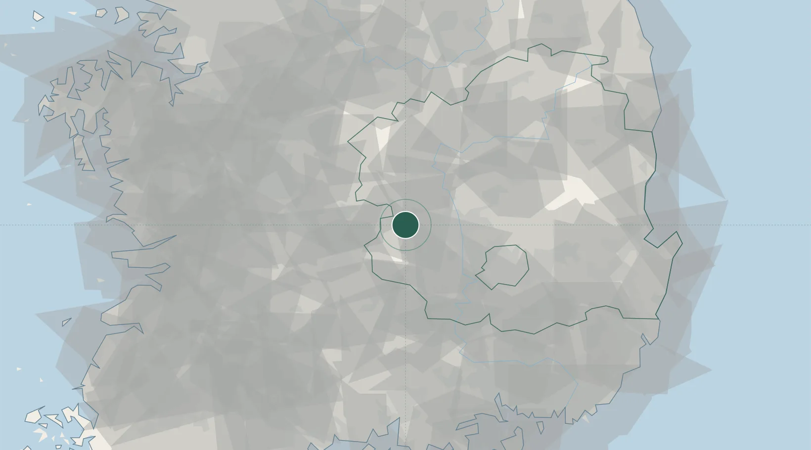
Gimcheon
36.1167°, 128.1000°
150,000
Population
2
Transport functions
Transport Functions
Rail
Road
Hub Profile
Place type
Populated place
Region
Gyeongsangbuk-do
Population
150,000
Time zone
Asia/Seoul
Elevation
81 m
Location
Nearby Logistics Neighbours
Cities
- 1Nonsan18 km
- 2Goryeong-gun21 km
- 3Gumi26 km
- 4Seongju-gun28 km
- 5Yeongdong-gun29 km
Ports
- 1Masan112 km
- 2Pohang116 km
- 3Chinae120 km
- 4Kunsan134 km
- 5Gwangyang Hang138 km
Airports
DatabookThe Record of Consolidated Knowledge
South Korea beyond logistics?