Industrial Complex · South Korea
Paju LCD General Industrial Complex Active
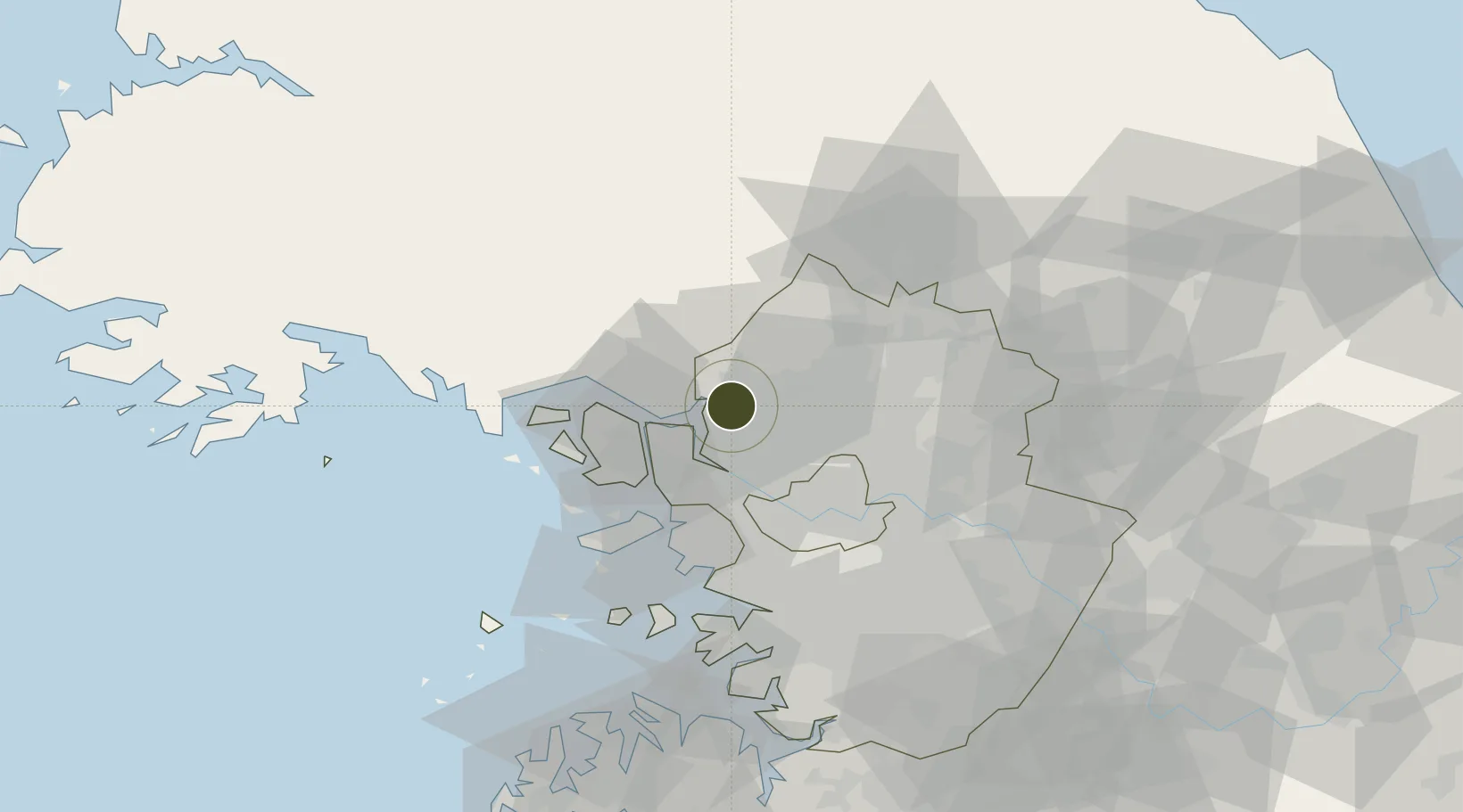
37.8116°, 126.7625°
174 ha
Zone area
40.5 km
Nearest port
28.3 km
Nearest airport
Gateway access
Zone profile
Zone type
Industrial Complex
Specialization
Tech
Region
Gyeonggi
Status
Active
Established
2008
Management
Public agency
Operator
Paju-si city administration
Regulatory authority
National, provincial or city-level governments
Legal framework
Industrial Sites and Development Act, and the Industrial Placement and Factory Act
Location
Fiscal & incentives
Corporate tax
22%
Tax relief
100% exempt
Relief duration
5 years
VAT
No exemption
Import duty (inputs)
0% exempt
Import duty (capex)
100% exempt
Profit repatriation
No exemption
Capital gains
No exemption
Withholding tax
No exemption
Min. investment
$30M
Min. export
0%
Employment incentive
Employment and training subsidies available to companies that newly employ 20 more individuals
Developer incentive
No established framework
Nearby Logistics Neighbours
Ports
- 1Inchon41 km
- 2Pyeongtaek Hang90 km
- 3Daesan Hang94 km
- 4Haeju Hang96 km
- 5Kyomip'o143 km
Airports
- 1Gimpo International Airport28 km
- 2Incheon International Airport47 km
- 3Seoul Air Base (K-16)51 km
- 4Suwon Airport67 km
- 5Osan Air Base84 km
Cities
- 1Munsan/Paju5 km
- 2Dorasan/Paju7 km
- 3Paju7 km
- 4Panmoonjeom14 km
- 5Ilsan-dong14 km
DatabookThe Record of Consolidated Knowledge
South Korea beyond logistics?