Diversified Zone · South Korea
Dangdong Foreign Investment Zone Active
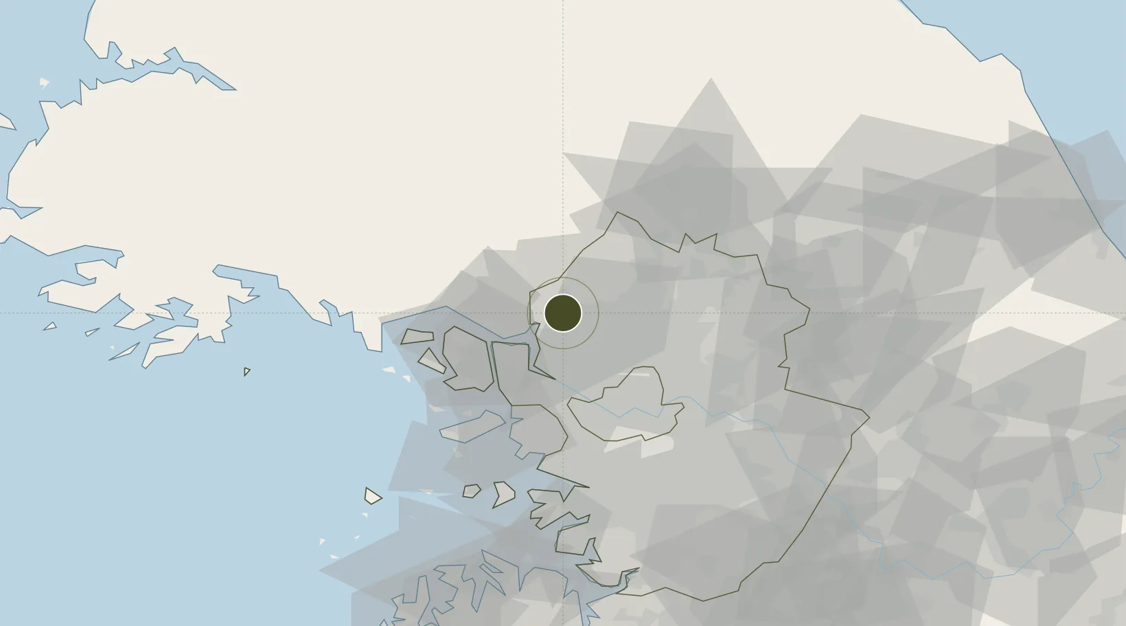
37.8661°, 126.7795°
23 ha
Zone area
46.7 km
Nearest port
34.2 km
Nearest airport
Gateway access
Zone profile
Zone type
Diversified Zone
Region
Gyeonggi
Status
Active
Management
Public
Operator
Paju City
Legal framework
Special Act On Designation And Management Of Free Economic Zones Expand Act No. 15309, Dec. 26, 2017, Foreign Investment Promotion Act: Expand Act No. 16131, Dec. 31, 2018.
Location
Nearby Logistics Neighbours
Ports
- 1Inchon47 km
- 2Haeju Hang96 km
- 3Pyeongtaek Hang96 km
- 4Daesan Hang100 km
- 5Kyomip'o140 km
Airports
- 1Gimpo International Airport34 km
- 2Incheon International Airport53 km
- 3Seoul Air Base (K-16)55 km
- 4Suwon Airport73 km
- 5Osan Air Base89 km
Cities
- 1Munsan/Paju2 km
- 2Panmoonjeom9 km
- 3Dorasan/Paju13 km
- 4Paju13 km
- 5Ilsan-dong20 km
DatabookThe Record of Consolidated Knowledge
South Korea beyond logistics?