Transport Functions
Rail
Road
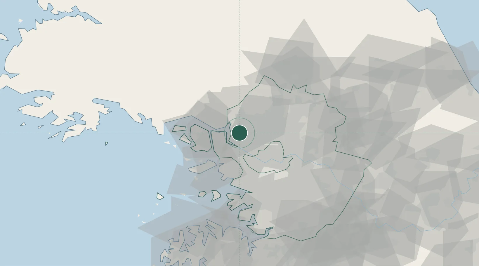
Hub Profile
Place type
Populated place
Region
Gyeonggi-do
Time zone
Asia/Seoul
Elevation
25 m
Location
Nearby Logistics Neighbours
Cities
- 1Dorasan/Paju0 km
- 2Ilsan-dong7 km
- 3Munsan/Paju11 km
- 4Goyang12 km
- 5Gimpo17 km
Ports
- 1Inchon34 km
- 2Pyeongtaek Hang83 km
- 3Daesan Hang88 km
- 4Haeju Hang98 km
- 5Kyomip'o149 km
Airports
- 1Gimpo International Airport21 km
- 2Incheon International Airport42 km
- 3Seoul Air Base (K-16)46 km
- 4Suwon Airport61 km
- 5Osan Air Base77 km
DatabookThe Record of Consolidated Knowledge
South Korea beyond logistics?