Seaport · South Korea
Gwangyang HangKRKAN
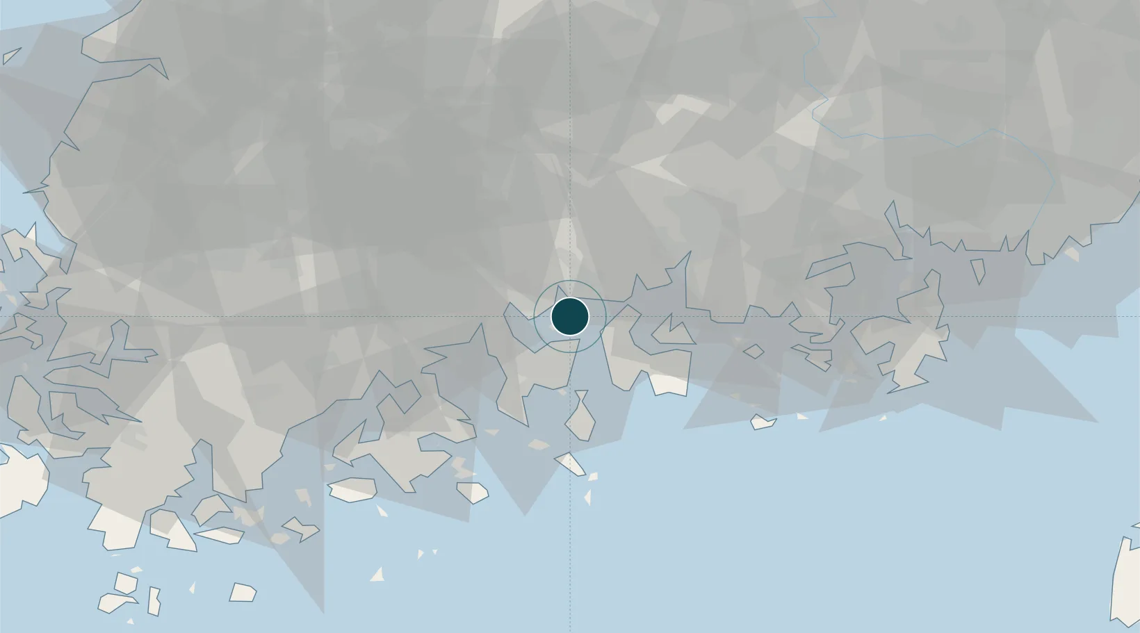
34.9085°, 127.7501°
20.1 m
Channel depth
3
Container terminals
524.4
Port liner connectivity
Channel & Berth Profile
Pilotage, Tugs & Services
Pilotage compulsoryYES
Pilotage availableYES
Tug assistanceYES
Potable waterYES
Diesel bunkersYES
MedicalYES
Facilities & Capabilities
Container—
Ro-Ro—
Liquid bulk—
Dry bulk—
Oil terminal—
Break bulk—
Dry dockNO
RepairsNO
BunkeringYES
Rail link—
Dangerous cargo—
ISPS security—
Harbour Specifications
Harbour size
Medium
Harbour type
Coastal (Natural)
Shelter
Good
Water body
Korea Strait; North Pacific Ocean
Tidal range
4 m
Overhead limit
No
Pilotage
Yes
Liner Connectivity
524.4
PLSCI
Port Liner Shipping Connectivity Index for Gwangyang Hang, as published by UNCTAD for the latest available quarter. Higher values indicate stronger scheduled liner-shipping integration.
Shown relative to the highest per-port PLSCI in the dataset (1,657.9).
Location
Container Terminals · 3
SM GWANGYANG TERMINAL
GIGCT SM LINE GWANGYANG TERMINAL CO., LTD.
GWANGYANG WEST CONTAINER TERMINAL
GWCT GWANGYANG WEST CONTAINER TERMINAL CO., LTD.
KOREA INTERNATIONAL CONTAINER TERMINAL
KIT KOREA INTERNATIONAL TERMINAL
Nearby Logistics Neighbours
Cities
- 1Sangam-dong10 km
- 2Namhae-gun15 km
- 3Boseong-gun16 km
- 4Yeosu18 km
- 5Suncheon25 km
Airports
- 1Yeosu Airport14 km
- 2Sacheon Airport / Sacheon Air Base36 km
- 3Gwangju Airport89 km
- 4Gimhae International Airport112 km
- 5Muan International Airport125 km
Trade Zones
DatabookThe Record of Consolidated Knowledge
South Korea beyond logistics?