Transport Functions
Rail
Road
Hub Profile
Region
43
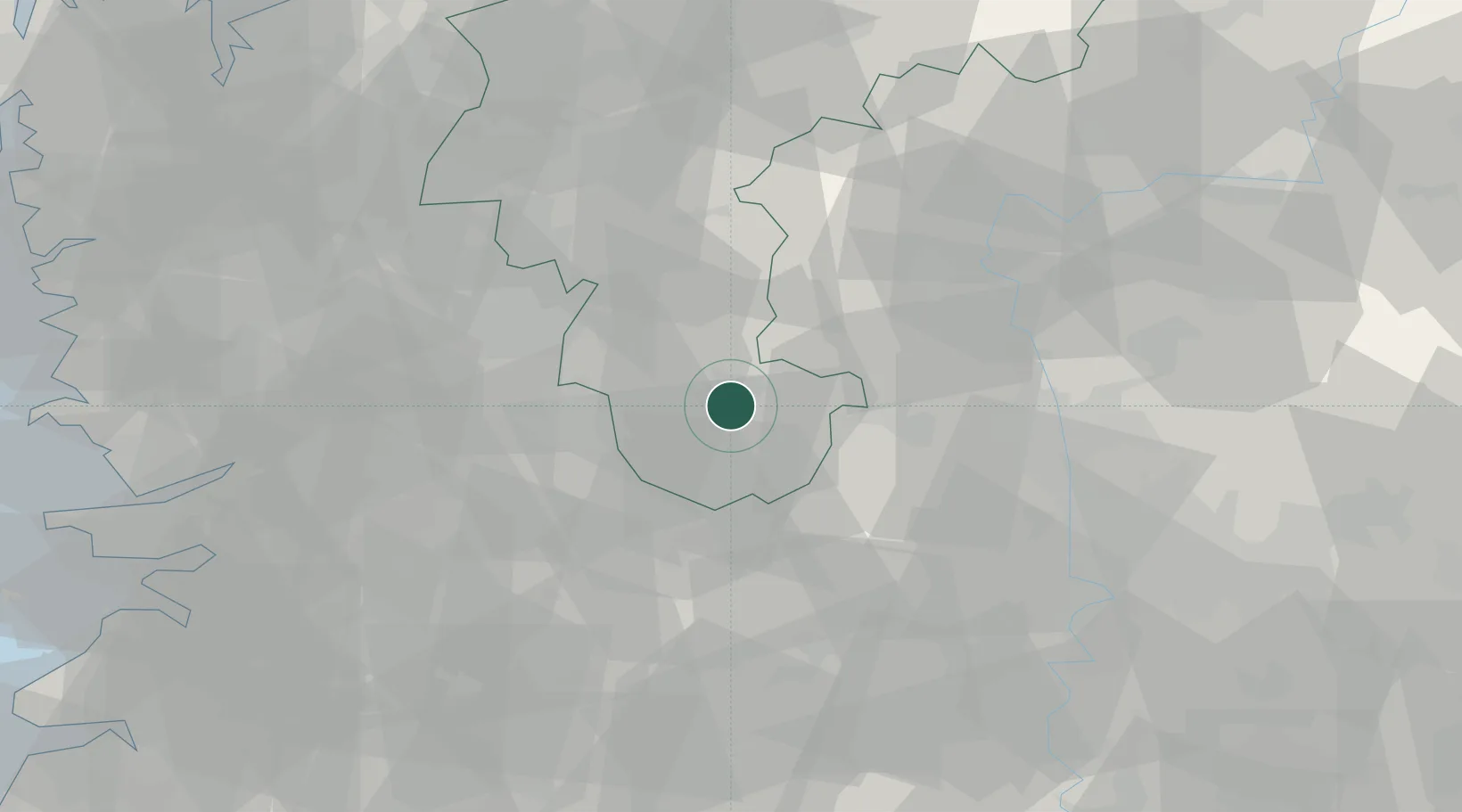
Location
Nearby Logistics Neighbours
Cities
- 1Nonsan12 km
- 2Okcheon-gun24 km
- 3Muju-gun29 km
- 4Gimcheon29 km
- 5Boeun-gun36 km
Ports
- 1Kunsan107 km
- 2Pyeongtaek Hang128 km
- 3Masan130 km
- 4Chinae139 km
- 5Gwangyang Hang140 km
Airports
DatabookThe Record of Consolidated Knowledge
South Korea beyond logistics?