UN/LOCODE hub · South Korea
KRSEJ

Seongju-gun

35.9000°, 128.2667°
2
Transport functions

Transport Functions

Rail
Road
UN/LOCODE

Hub Profile

Region
47
GeoNames

Location

Location of KRSEJ
Natural Earth 10m (public domain) · 47 · KRSEJ · 35.90, 128.27GoogleOSMYandex

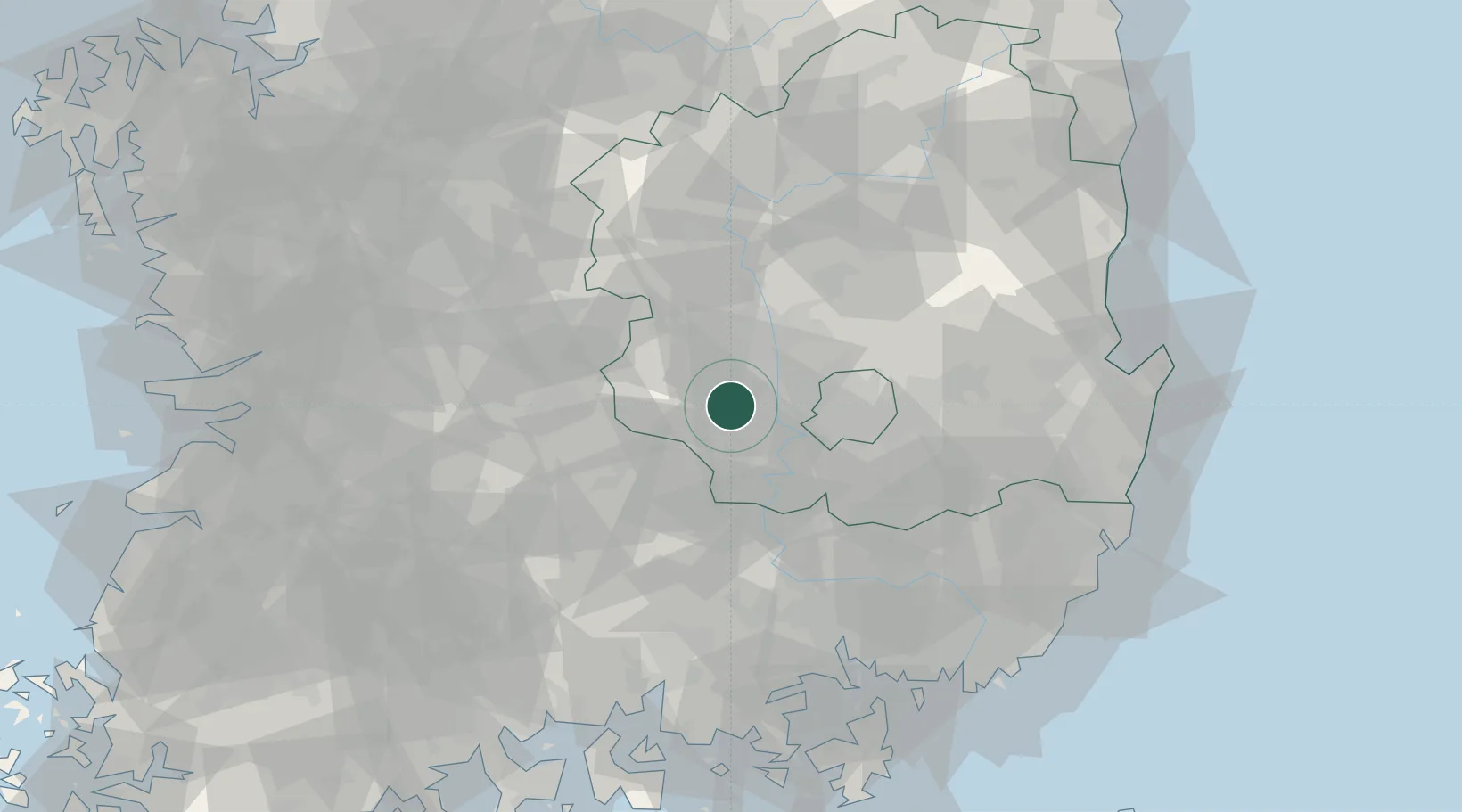
Nearby Logistics Neighbours

Cities
  1. 1Goryeong-gun8 km
  2. 2Waegwan14 km
  3. 3Chilgok-gun15 km
  4. 4Gumi24 km
  5. 5Dalseong-gun/Daegu27 km
Nearest neighbours — logibook spatial index (haversine) over the source coordinates
Ports
  1. 1Masan84 km
  2. 2Chinae92 km
  3. 3Pohang102 km
  4. 4Busan113 km
  5. 5Ulsan114 km
Nearest neighbours — logibook spatial index (haversine) over the source coordinates
Airports
  1. 1Daegu International Airport35 km
  2. 2Yecheon Airbase82 km
  3. 3Sacheon Airport / Sacheon Air Base92 km
  4. 4Gimhae International Airport101 km
  5. 5Ulsan Airport104 km
Nearest neighbours — logibook spatial index (haversine) over the source coordinates
Trade Zones
  1. 1Waegwan General Industrial Complex15 km
  2. 2Dasan General Industrial Complex16 km
  3. 3Seongseo 1 General Industrial Complex22 km
  4. 4Gumi 1 National Industrial Complex25 km
  5. 5Dalseong 1 (GIC - includes 10ha FIZ)25 km
Nearest neighbours — logibook spatial index (haversine) over the source coordinates
DatabookThe Record of Consolidated Knowledge
South Korea beyond logistics?
Browse databook

All Sources

LocationsUN/LOCODE
UN/LOCODE — free
Portsthe NGA World Port Index
Public domain (US gov)
AirportsOurAirports
Public domain
Trade Zonesthe World Bank SEZ database
CC BY 4.0
Trade ZonesOpen Zone Map
CC BY
← South Korea locations