Transport Functions
Rail
Road
Hub Profile
Place type
Provincial seat
Region
Gyeongsangbuk-do
Population
404,691
Time zone
Asia/Seoul
Elevation
63 m
Logistics facilities
5
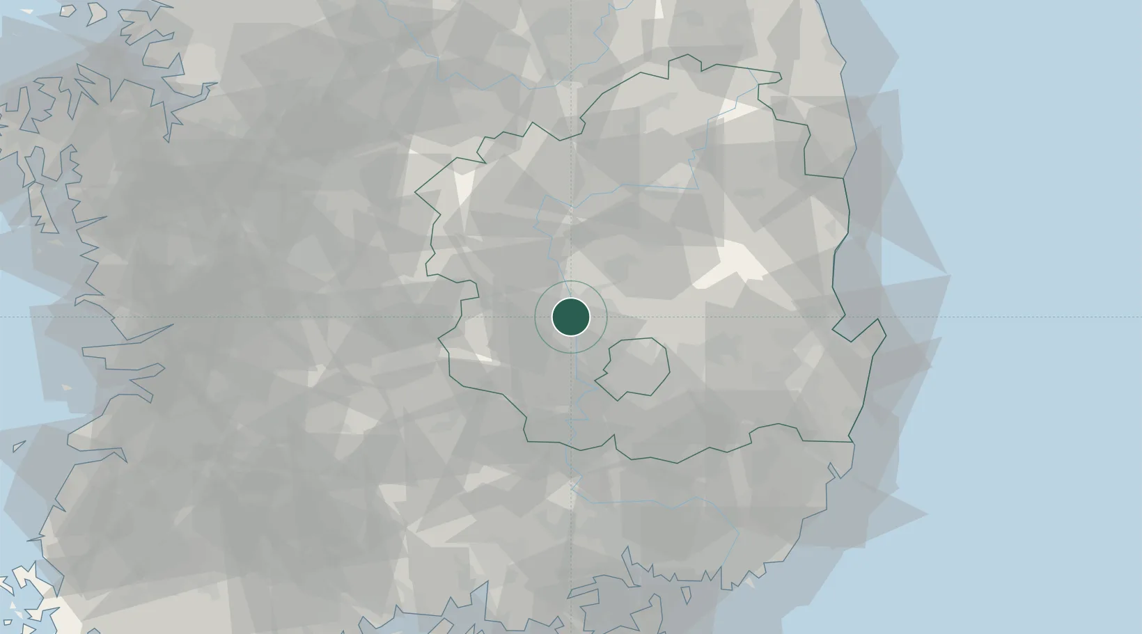
Location
Nearby Logistics Neighbours
Cities
- 1Waegwan12 km
- 2Chilgok-gun12 km
- 3Goryeong-gun18 km
- 4Gunwi-gun23 km
- 5Seongju-gun24 km
Airports
DatabookThe Record of Consolidated Knowledge
South Korea beyond logistics?