UN/LOCODE hub · South Korea
KRGRG

Goryeong-gun

35.9667°, 128.2500°
2
Transport functions

Transport Functions

Rail
Road
UN/LOCODE

Hub Profile

Region
47
GeoNames

Location

Location of KRGRG
Natural Earth 10m (public domain) · 47 · KRGRG · 35.97, 128.25GoogleOSMYandex

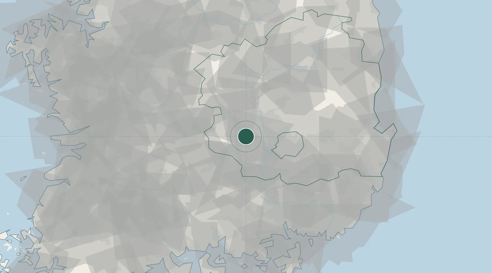
Nearby Logistics Neighbours

Cities
  1. 1Seongju-gun8 km
  2. 2Waegwan12 km
  3. 3Chilgok-gun14 km
  4. 4Gumi18 km
  5. 5Gimcheon21 km
Nearest neighbours — logibook spatial index (haversine) over the source coordinates
Ports
  1. 1Masan92 km
  2. 2Chinae100 km
  3. 3Pohang102 km
  4. 4Ulsan119 km
  5. 5Busan120 km
Nearest neighbours — logibook spatial index (haversine) over the source coordinates
Airports
  1. 1Daegu International Airport38 km
  2. 2Yecheon Airbase74 km
  3. 3Sacheon Airport / Sacheon Air Base99 km
  4. 4Pohang Airport (G-815/K-3)105 km
  5. 5Cheongju International Airport/Cheongju Air Base (K-59/G-513)107 km
Nearest neighbours — logibook spatial index (haversine) over the source coordinates
Trade Zones
  1. 1Waegwan General Industrial Complex15 km
  2. 2Gumi 1 National Industrial Complex19 km
  3. 3Dasan General Industrial Complex23 km
  4. 4Gumi Foreign Investment Zone26 km
  5. 5Seongseo 1 General Industrial Complex27 km
Nearest neighbours — logibook spatial index (haversine) over the source coordinates
DatabookThe Record of Consolidated Knowledge
South Korea beyond logistics?
Browse databook

All Sources

LocationsUN/LOCODE
UN/LOCODE — free
Portsthe NGA World Port Index
Public domain (US gov)
AirportsOurAirports
Public domain
Trade Zonesthe World Bank SEZ database
CC BY 4.0
Trade ZonesOpen Zone Map
CC BY
← South Korea locations