Medium airport · South Korea
Sacheon Airport / Sacheon Air BaseRKPS
35.0886°, 128.0717°
9,000 ft
Longest runway
2
Runways
25 ft
Elevation
Runway & Layout

Radio Frequencies
ATIS
132.35 MHz
TWR
130.2 MHz
GND
27.58 MHz
APP
119.725 MHz
DEP
119.725 MHz
ACP
120 MHz
BRICKWALL
RDR
119.725 MHz
RAPCON
Navaids
SAC VOR-DME Sacheon 115.10 MHz
SCN TACAN Sacheon 110.00 MHz
Runways · 2
| Runway | Dimensions | Surface | True heading | Lit |
|---|---|---|---|---|
| 06L/24R | 9,000 × 150ft | Concrete | 055° | ✓ |
| 06R/24L | 9,000 × 150ft | Concrete | 056° | ✓ |
Airport Specifications
IATA code
HIN
ICAO code
RKPS
Airport class
Medium airport
Scheduled service
Yes
Runway surface
Concrete
Served city
Sacheon
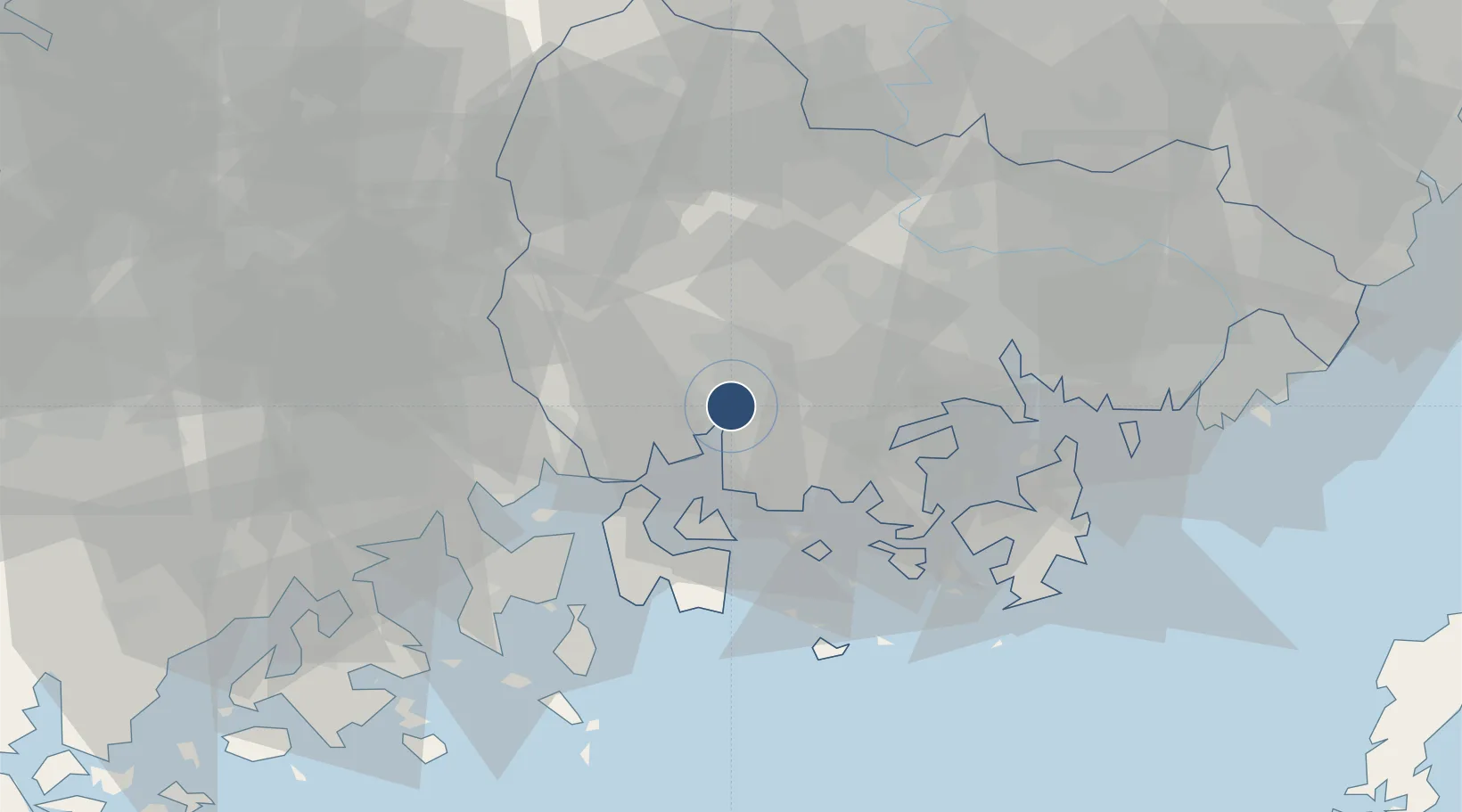
Location
Nearby Logistics Neighbours
Airports
- 1Yeosu Airport50 km
- 2Gimhae International Airport79 km
- 3Daegu International Airport104 km
- 4Gwangju Airport115 km
- 5Ulsan Airport129 km
Cities
- 1Jinju9 km
- 2Samcheonpo/Sacheon19 km
- 3Goseong-gun26 km
- 4Namhae-gun33 km
- 5Haman-gun36 km
Ports
- 1Gwangyang Hang36 km
- 2Masan46 km
- 3Chinae53 km
- 4Busan88 km
- 5Ulsan127 km
Trade Zones
DatabookThe Record of Consolidated Knowledge
South Korea beyond logistics?