Transport Functions
Multimodal
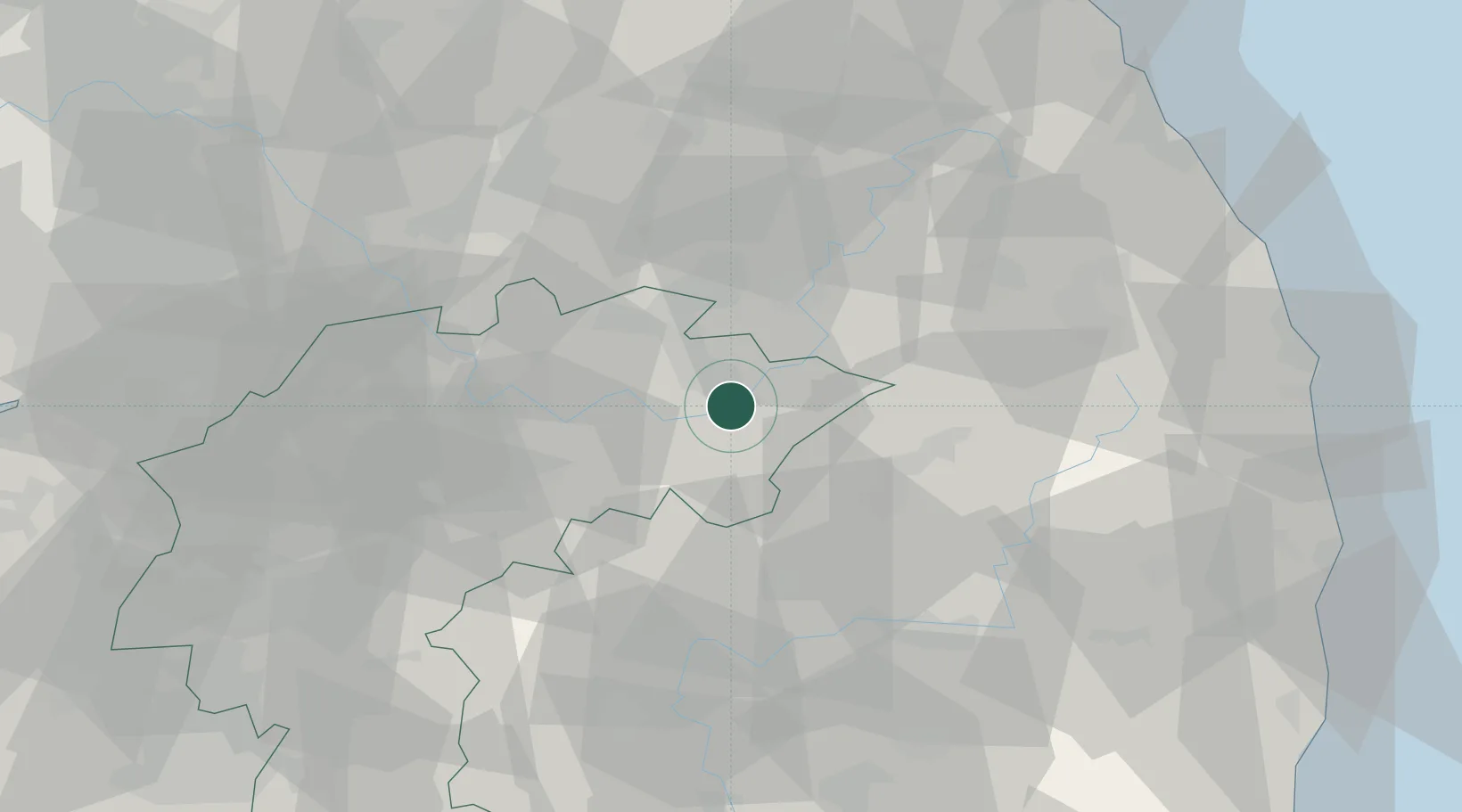
Location
Nearby Logistics Neighbours
Cities
- 1Danyang-gun0 km
- 2Jecheon20 km
- 3Yeongwol-gun24 km
- 4Yeongju31 km
- 5Yecheon-gun38 km
Ports
- 1Tonghae94 km
- 2Mukho94 km
- 3Sokch'o Hang137 km
- 4Pyeongtaek Hang138 km
- 5Pohang139 km
Airports
DatabookThe Record of Consolidated Knowledge
North Korea beyond logistics?