UN/LOCODE hub · South Korea
KRJAN
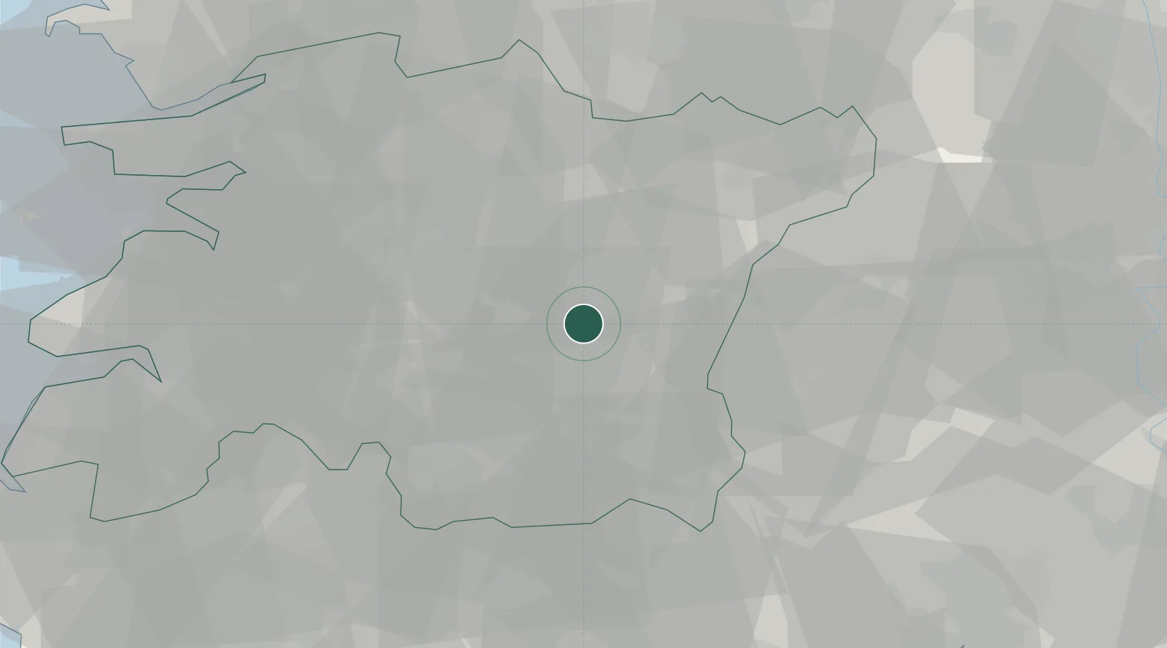
Jinan-gun
35.6333°, 127.4167°
31,273
Population
2
Transport functions
Transport Functions
Rail
Road
Hub Profile
Place type
Populated place
Region
Jeollabuk-do
Population
31,273
Time zone
Asia/Seoul
Elevation
295 m
Location
Nearby Logistics Neighbours
Cities
- 1Jangsu-gun9 km
- 2Imsil-gun14 km
- 3Sunchang-gun16 km
- 4Namwon26 km
- 5Hamyang-gun30 km
Ports
- 1Kunsan82 km
- 2Gwangyang Hang86 km
- 3Masan116 km
- 4Chinae125 km
- 5Mokpo133 km
Airports
- 1Gunsan Airport / Gunsan Air Base78 km
- 2Gwangju Airport79 km
- 3Sacheon Airport / Sacheon Air Base85 km
- 4Yeosu Airport90 km
- 5Daegu International Airport116 km
DatabookThe Record of Consolidated Knowledge
South Korea beyond logistics?