Industrial Complex · South Korea

Wanju General Industrial Complex
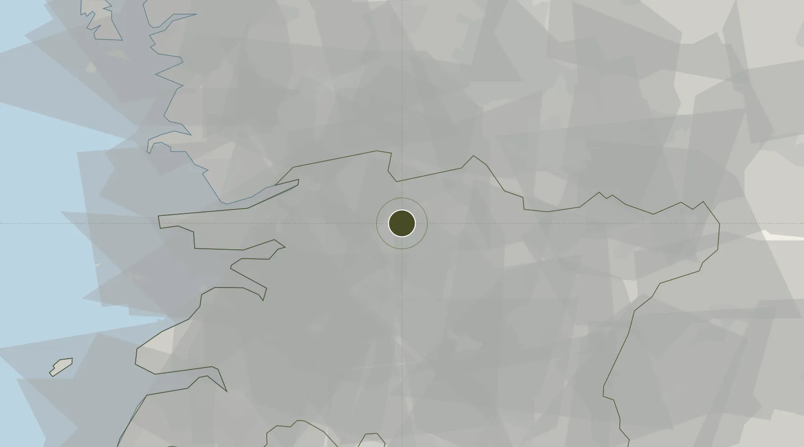
35.9524°, 127.1279°
336 ha
Zone area
46.1 km
Nearest port
46.4 km
Nearest airport

Gateway access

Nearest neighbours — logibook spatial index (haversine) over the source coordinates

Zone profile

Zone type
Industrial Complex
the World Bank SEZ database
Region
North Jeolla
the World Bank SEZ database
Established
2004
the World Bank SEZ database
Management
Public agency
the World Bank SEZ database
Operator
Wanju-gun Regional Economy Division
the World Bank SEZ database
Regulatory authority
National, provincial or city-level governments
the World Bank SEZ database
Legal framework
Industrial Sites and Development Act, and the Industrial Placement and Factory Act
the World Bank SEZ database

Location

Location of KOR106
Natural Earth 10m (public domain) · North Jeolla · KOR106 · 35.95, 127.13GoogleOSMYandex

Fiscal & incentives

Corporate tax
22%
the World Bank SEZ database
Tax relief
100% exempt
the World Bank SEZ database
Relief duration
5 years
the World Bank SEZ database
VAT
No exemption
the World Bank SEZ database
Import duty (inputs)
0% exempt
the World Bank SEZ database
Import duty (capex)
100% exempt
the World Bank SEZ database
Profit repatriation
No exemption
the World Bank SEZ database
Capital gains
No exemption
the World Bank SEZ database
Withholding tax
No exemption
the World Bank SEZ database
Min. investment
$30M
the World Bank SEZ database
Min. export
0%
the World Bank SEZ database
Employment incentive
Employment and training subsidies available to companies that newly employ 20 more individuals
the World Bank SEZ database
Developer incentive
No established framework
the World Bank SEZ database

Nearby Logistics Neighbours

Ports
  1. 1Kunsan46 km
  2. 2Pyeongtaek Hang120 km
  3. 3Gwangyang Hang129 km
  4. 4Daesan Hang135 km
  5. 5Mokpo147 km
Nearest neighbours — logibook spatial index (haversine) over the source coordinates
Airports
  1. 1Gunsan Airport / Gunsan Air Base46 km
  2. 2Cheongju International Airport/Cheongju Air Base (K-59/G-513)91 km
  3. 3Gwangju Airport97 km
  4. 4Camp Humphreys (A-511) Desiderio Army Airfield113 km
  5. 5Muan International Airport126 km
Nearest neighbours — logibook spatial index (haversine) over the source coordinates
Cities
  1. 1Bongdong-eup/Wanju-gun3 km
  2. 2Iksan9 km
  3. 3Chonju15 km
  4. 4Jeonju15 km
  5. 5Gimje29 km
Nearest neighbours — logibook spatial index (haversine) over the source coordinates
Trade Zones
  1. 1Jeonju Pro-environmental Advanced General Industrial Complex0 km
  2. 2Jeonju 1 General Industrial Complex11 km
  3. 3Iksan National Industrial Complex14 km
  4. 4Jeonbuk Smart City16 km
  5. 5Iksan Foreign Investment Zone17 km
Nearest neighbours — logibook spatial index (haversine) over the source coordinates
DatabookThe Record of Consolidated Knowledge
South Korea beyond logistics?
Browse databook

All Sources

Trade Zonesthe World Bank SEZ database
CC BY 4.0
Portsthe NGA World Port Index
Public domain (US gov)
AirportsOurAirports
Public domain
LocationsUN/LOCODE
UN/LOCODE — free
← South Korea trade zones