Transport Functions
Rail
Road
Hub Profile
Region
45
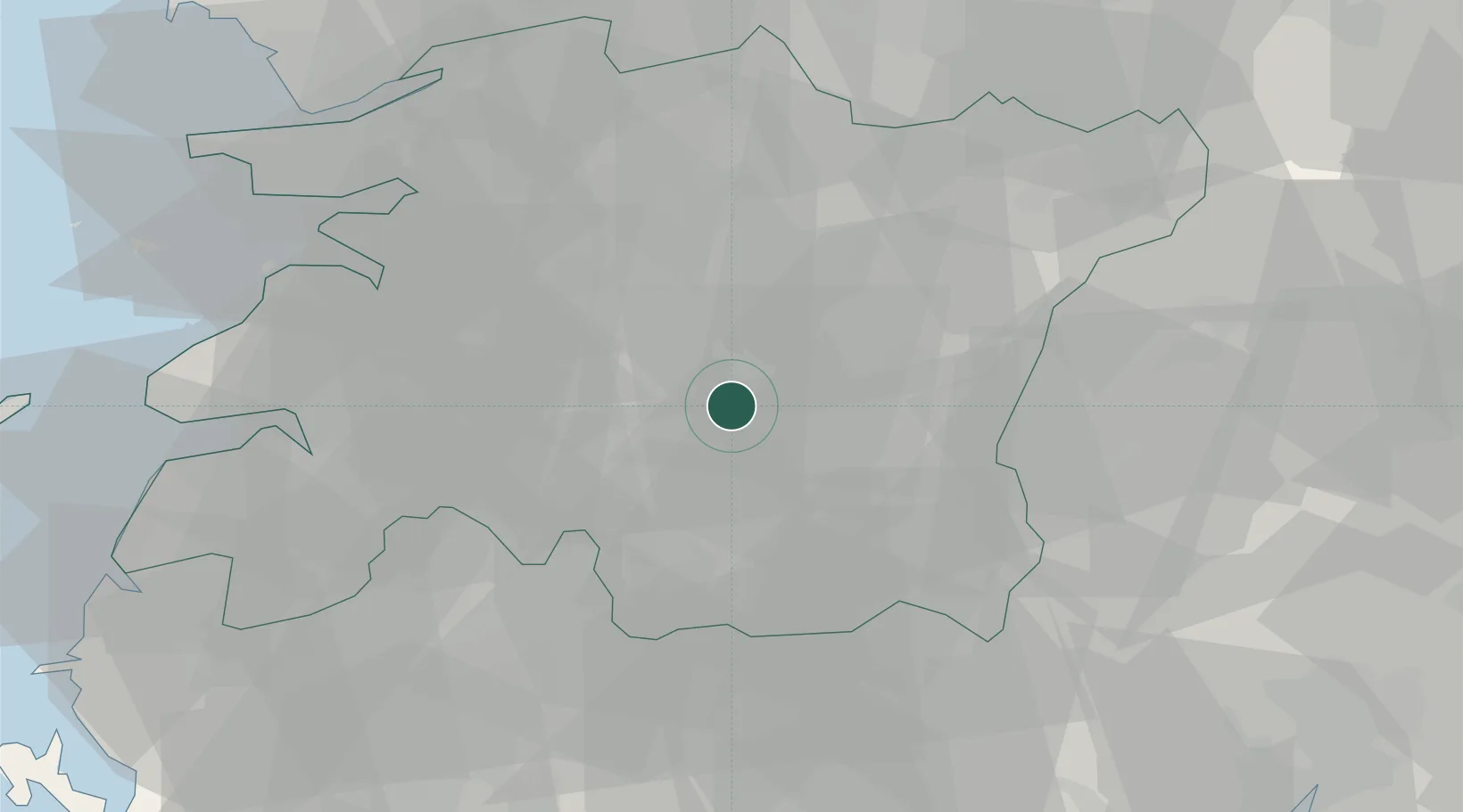
Location
Nearby Logistics Neighbours
Cities
- 1Sunchang-gun13 km
- 2Jinan-gun14 km
- 3Jangsu-gun23 km
- 4Namwon25 km
- 5Jeonju26 km
Ports
- 1Kunsan73 km
- 2Gwangyang Hang89 km
- 3Mokpo121 km
- 4Masan127 km
- 5Chinae136 km
Airports
- 1Gwangju Airport68 km
- 2Gunsan Airport / Gunsan Air Base68 km
- 3Yeosu Airport90 km
- 4Sacheon Airport / Sacheon Air Base93 km
- 5Muan International Airport105 km
DatabookThe Record of Consolidated Knowledge
South Korea beyond logistics?