Transport Functions
Rail
Road
Hub Profile
Region
45
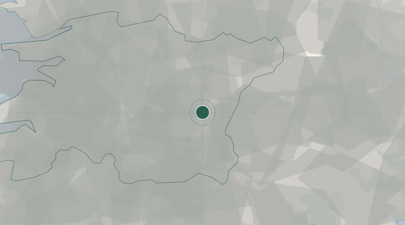
Location
Nearby Logistics Neighbours
Cities
- 1Jinan-gun9 km
- 2Hamyang-gun22 km
- 3Hadong-gun22 km
- 4Imsil-gun23 km
- 5Sunchang-gun24 km
Ports
- 1Gwangyang Hang83 km
- 2Kunsan90 km
- 3Masan108 km
- 4Chinae117 km
- 5Mokpo140 km
Airports
- 1Sacheon Airport / Sacheon Air Base79 km
- 2Gwangju Airport86 km
- 3Gunsan Airport / Gunsan Air Base87 km
- 4Yeosu Airport88 km
- 5Daegu International Airport107 km
DatabookThe Record of Consolidated Knowledge
South Korea beyond logistics?