Industrial Complex · South Korea

Jeongeup 2 General Industrial Complex
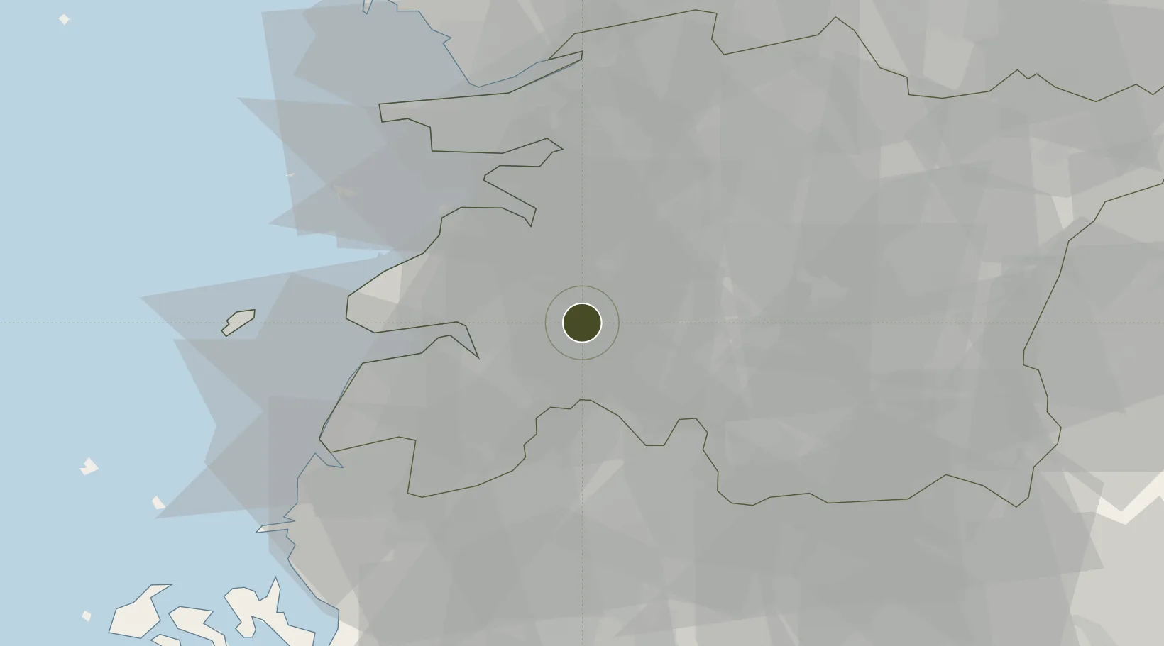
35.5943°, 126.8703°
99 ha
Zone area
48.9 km
Nearest port
41.4 km
Nearest airport

Gateway access

Nearest neighbours — logibook spatial index (haversine) over the source coordinates

Zone profile

Zone type
Industrial Complex
the World Bank SEZ database
Region
North Jeolla
the World Bank SEZ database
Established
1994
the World Bank SEZ database
Management
Public agency
the World Bank SEZ database
Operator
Jeongeup-si city administration
the World Bank SEZ database
Regulatory authority
National, provincial or city-level governments
the World Bank SEZ database
Legal framework
Industrial Sites and Development Act, and the Industrial Placement and Factory Act
the World Bank SEZ database

Location

Location of KOR73
Natural Earth 10m (public domain) · North Jeolla · KOR73 · 35.59, 126.87GoogleOSMYandex

Fiscal & incentives

Corporate tax
22%
the World Bank SEZ database
Tax relief
100% exempt
the World Bank SEZ database
Relief duration
5 years
the World Bank SEZ database
VAT
No exemption
the World Bank SEZ database
Import duty (inputs)
0% exempt
the World Bank SEZ database
Import duty (capex)
100% exempt
the World Bank SEZ database
Profit repatriation
No exemption
the World Bank SEZ database
Capital gains
No exemption
the World Bank SEZ database
Withholding tax
No exemption
the World Bank SEZ database
Min. investment
$30M
the World Bank SEZ database
Min. export
0%
the World Bank SEZ database
Employment incentive
Employment and training subsidies available to companies that newly employ 20 more individuals
the World Bank SEZ database
Developer incentive
No established framework
the World Bank SEZ database

Nearby Logistics Neighbours

Ports
  1. 1Kunsan49 km
  2. 2Mokpo101 km
  3. 3Gwangyang Hang110 km
  4. 4Pyeongtaek Hang156 km
  5. 5Masan160 km
Nearest neighbours — logibook spatial index (haversine) over the source coordinates
Airports
  1. 1Gunsan Airport / Gunsan Air Base41 km
  2. 2Gwangju Airport53 km
  3. 3Muan International Airport80 km
  4. 4Yeosu Airport108 km
  5. 5Sacheon Airport / Sacheon Air Base123 km
Nearest neighbours — logibook spatial index (haversine) over the source coordinates
Cities
  1. 1Jeongeup4 km
  2. 2Yongi12 km
  3. 3Buan-gun18 km
  4. 4Gimje23 km
  5. 5Gangjin-gun23 km
Nearest neighbours — logibook spatial index (haversine) over the source coordinates
Trade Zones
  1. 1Gimje Free Trade Zone28 km
  2. 2Jeonbuk Smart City34 km
  3. 3Jeonju 1 General Industrial Complex35 km
  4. 4Iksan Foreign Investment Zone40 km
  5. 5Iksan National Industrial Complex40 km
Nearest neighbours — logibook spatial index (haversine) over the source coordinates
DatabookThe Record of Consolidated Knowledge
South Korea beyond logistics?
Browse databook

All Sources

Trade Zonesthe World Bank SEZ database
CC BY 4.0
Portsthe NGA World Port Index
Public domain (US gov)
AirportsOurAirports
Public domain
LocationsUN/LOCODE
UN/LOCODE — free
← South Korea trade zones