Industrial Complex · South Korea

Jeonju 1 General Industrial Complex Active
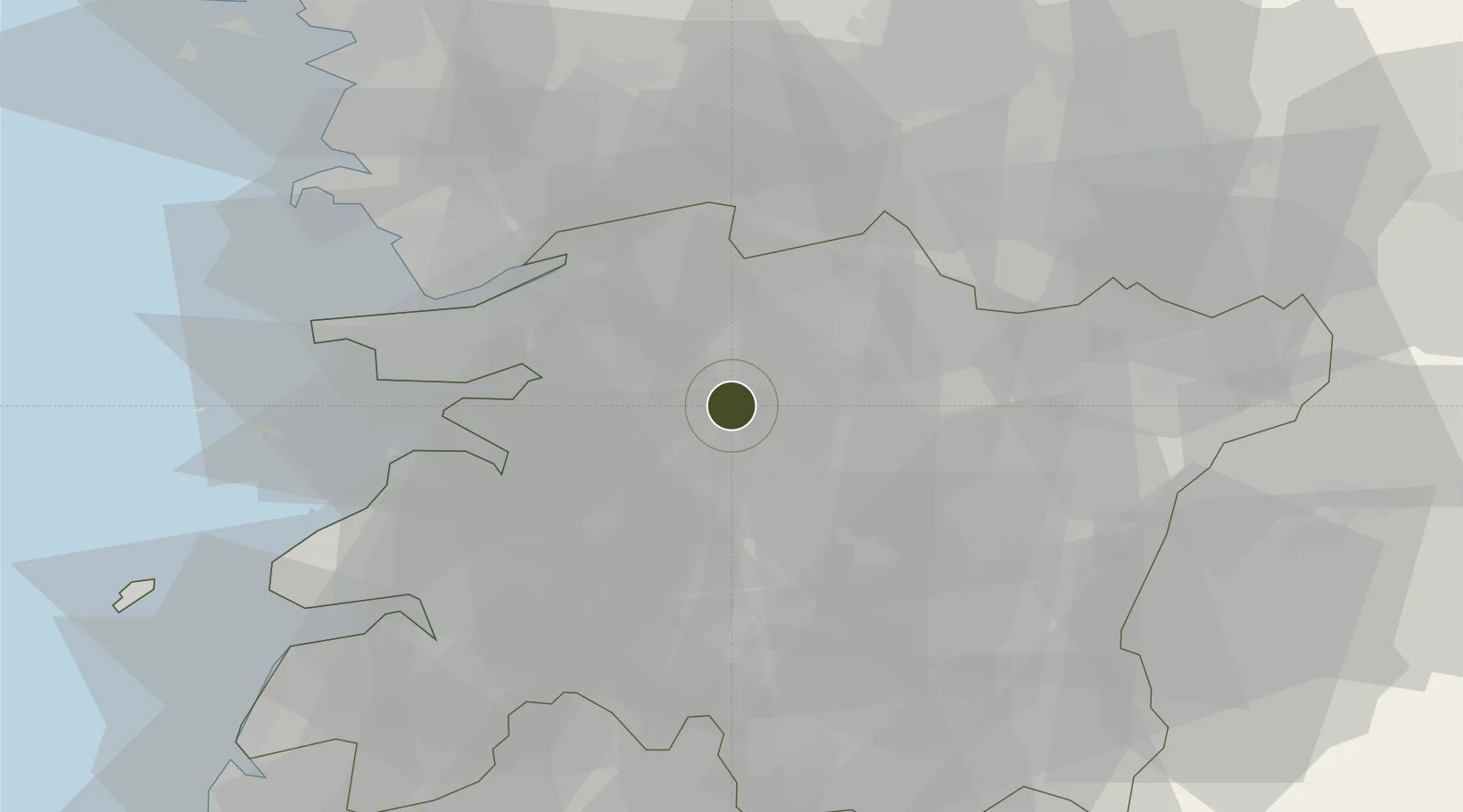
35.8542°, 127.0966°
806,700 ha
Zone area
45.5 km
Nearest port
43.7 km
Nearest airport

Gateway access

Nearest neighbours — logibook spatial index (haversine) over the source coordinates

Zone profile

Zone type
Industrial Complex
the World Bank SEZ database
Region
North Jeolla
the World Bank SEZ database
Status
Active
the World Bank SEZ database
Established
1973
the World Bank SEZ database
Management
Public agency
the World Bank SEZ database
Operator
Jeonju-si city administration
the World Bank SEZ database
Regulatory authority
National, provincial or city-level governments
the World Bank SEZ database
Legal framework
Industrial Sites and Development Act, and the Industrial Placement and Factory Act
the World Bank SEZ database

Location

Location of KOR74
Natural Earth 10m (public domain) · North Jeolla · KOR74 · 35.85, 127.10GoogleOSMYandex

Fiscal & incentives

Corporate tax
22%
the World Bank SEZ database
Tax relief
100% exempt
the World Bank SEZ database
Relief duration
5 years
the World Bank SEZ database
VAT
No exemption
the World Bank SEZ database
Import duty (inputs)
0% exempt
the World Bank SEZ database
Import duty (capex)
100% exempt
the World Bank SEZ database
Profit repatriation
No exemption
the World Bank SEZ database
Capital gains
No exemption
the World Bank SEZ database
Withholding tax
No exemption
the World Bank SEZ database
Min. investment
$30M
the World Bank SEZ database
Min. export
0%
the World Bank SEZ database
Employment incentive
Employment and training subsidies available to companies that newly employ 20 more individuals
the World Bank SEZ database
Developer incentive
No established framework
the World Bank SEZ database

Nearby Logistics Neighbours

Ports
  1. 1Kunsan46 km
  2. 2Gwangyang Hang121 km
  3. 3Pyeongtaek Hang130 km
  4. 4Mokpo136 km
  5. 5Daesan Hang144 km
Nearest neighbours — logibook spatial index (haversine) over the source coordinates
Airports
  1. 1Gunsan Airport / Gunsan Air Base44 km
  2. 2Gwangju Airport86 km
  3. 3Cheongju International Airport/Cheongju Air Base (K-59/G-513)102 km
  4. 4Muan International Airport116 km
  5. 5Yeosu Airport122 km
Nearest neighbours — logibook spatial index (haversine) over the source coordinates
Cities
  1. 1Chonju5 km
  2. 2Jeonju6 km
  3. 3Bongdong-eup/Wanju-gun10 km
  4. 4Iksan14 km
  5. 5Gimje22 km
Nearest neighbours — logibook spatial index (haversine) over the source coordinates
Trade Zones
  1. 1Jeonbuk Smart City6 km
  2. 2Wanju General Industrial Complex11 km
  3. 3Jeonju Pro-environmental Advanced General Industrial Complex11 km
  4. 4Iksan National Industrial Complex15 km
  5. 5Iksan Foreign Investment Zone18 km
Nearest neighbours — logibook spatial index (haversine) over the source coordinates
DatabookThe Record of Consolidated Knowledge
South Korea beyond logistics?
Browse databook

All Sources

Trade Zonesthe World Bank SEZ database
CC BY 4.0
Portsthe NGA World Port Index
Public domain (US gov)
AirportsOurAirports
Public domain
LocationsUN/LOCODE
UN/LOCODE — free
← South Korea trade zones