UN/LOCODE hub · South Korea
KRSCG

Sunchang-gun

35.7167°, 127.2667°
2
Transport functions

Transport Functions

Rail
Road
UN/LOCODE

Hub Profile

Region
45
GeoNames

Location

Location of KRSCG
Natural Earth 10m (public domain) · 45 · KRSCG · 35.72, 127.27GoogleOSMYandex

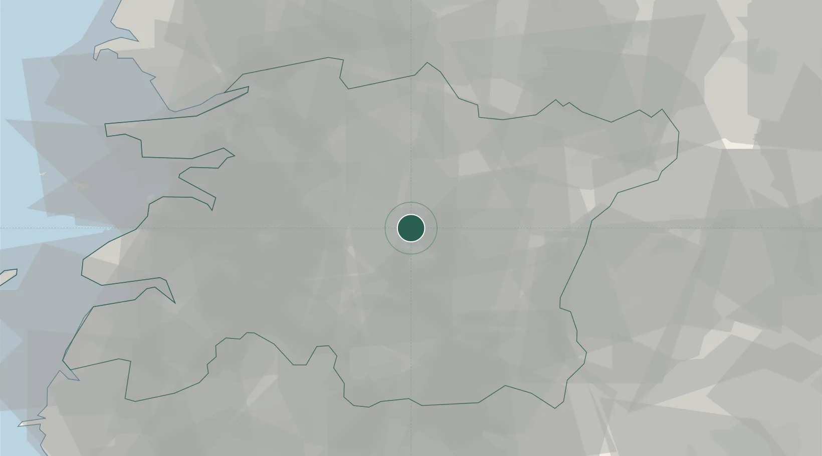
Nearby Logistics Neighbours

Cities
  1. 1Imsil-gun13 km
  2. 2Jeonju15 km
  3. 3Chonju16 km
  4. 4Jinan-gun16 km
  5. 5Jangsu-gun24 km
Nearest neighbours — logibook spatial index (haversine) over the source coordinates
Ports
  1. 1Kunsan66 km
  2. 2Gwangyang Hang100 km
  3. 3Mokpo131 km
  4. 4Masan132 km
  5. 5Chinae141 km
Nearest neighbours — logibook spatial index (haversine) over the source coordinates
Airports
  1. 1Gunsan Airport / Gunsan Air Base62 km
  2. 2Gwangju Airport78 km
  3. 3Sacheon Airport / Sacheon Air Base101 km
  4. 4Yeosu Airport102 km
  5. 5Cheongju International Airport/Cheongju Air Base (K-59/G-513)113 km
Nearest neighbours — logibook spatial index (haversine) over the source coordinates
Trade Zones
  1. 1Jeonbuk Smart City16 km
  2. 2Jeonju 1 General Industrial Complex22 km
  3. 3Wanju General Industrial Complex29 km
  4. 4Jeonju Pro-environmental Advanced General Industrial Complex29 km
  5. 5Iksan National Industrial Complex36 km
Nearest neighbours — logibook spatial index (haversine) over the source coordinates
DatabookThe Record of Consolidated Knowledge
South Korea beyond logistics?
Browse databook

All Sources

LocationsUN/LOCODE
UN/LOCODE — free
Portsthe NGA World Port Index
Public domain (US gov)
AirportsOurAirports
Public domain
Trade Zonesthe World Bank SEZ database
CC BY 4.0
Trade ZonesOpen Zone Map
CC BY
← South Korea locations