Transport Functions
Rail
Road
Hub Profile
Region
48
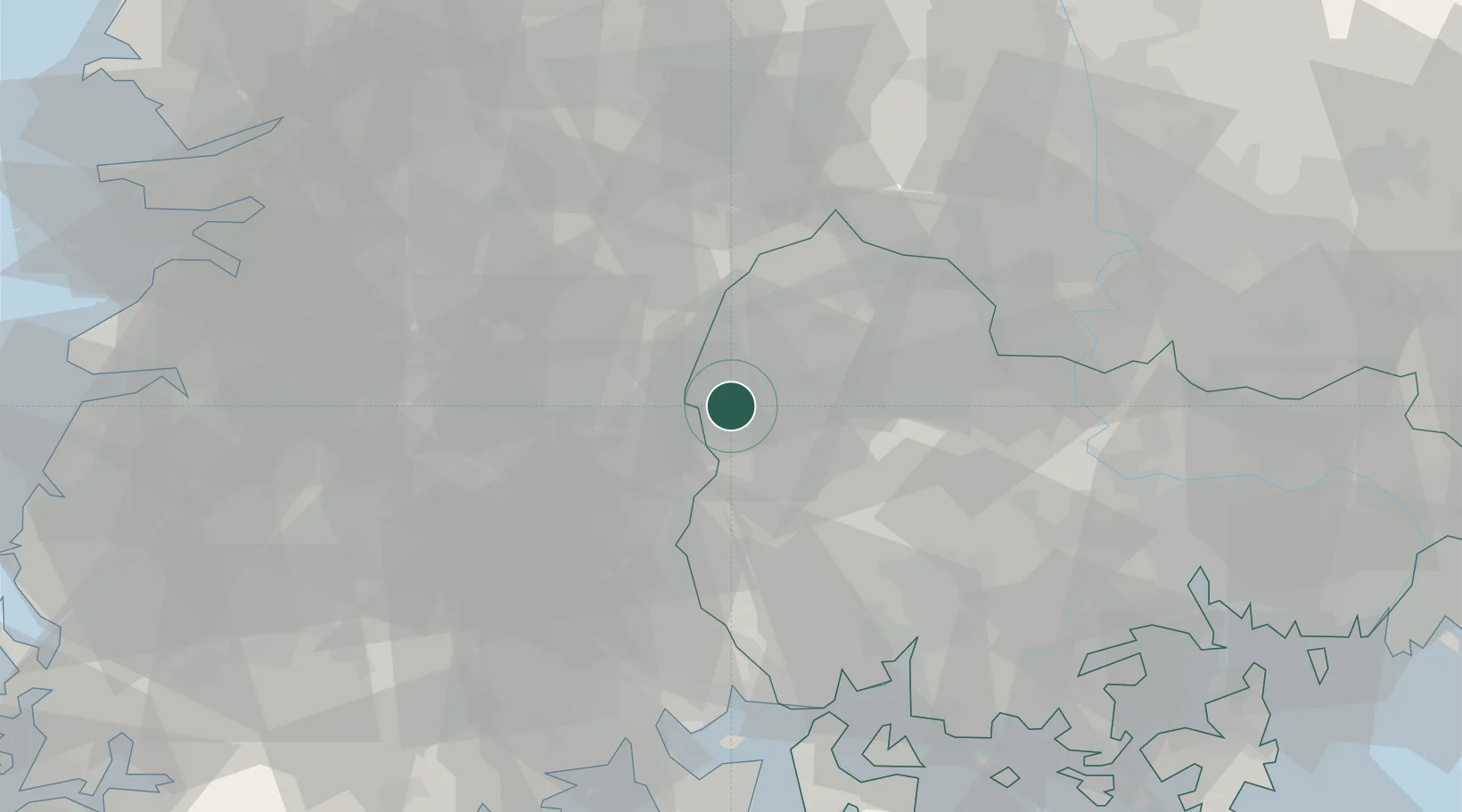
Location
Nearby Logistics Neighbours
Cities
- 1Sancheong-gun19 km
- 2Hadong-gun21 km
- 3Jangsu-gun22 km
- 4Geochang-gun25 km
- 5Jinan-gun30 km
Ports
- 1Gwangyang Hang68 km
- 2Masan86 km
- 3Chinae95 km
- 4Kunsan112 km
- 5Busan128 km
Airports
- 1Sacheon Airport / Sacheon Air Base58 km
- 2Yeosu Airport76 km
- 3Gwangju Airport94 km
- 4Daegu International Airport95 km
- 5Gunsan Airport / Gunsan Air Base108 km
Trade Zones
DatabookThe Record of Consolidated Knowledge
South Korea beyond logistics?