Economic Revitalization Project · South Korea

Jeonbuk Smart City Active
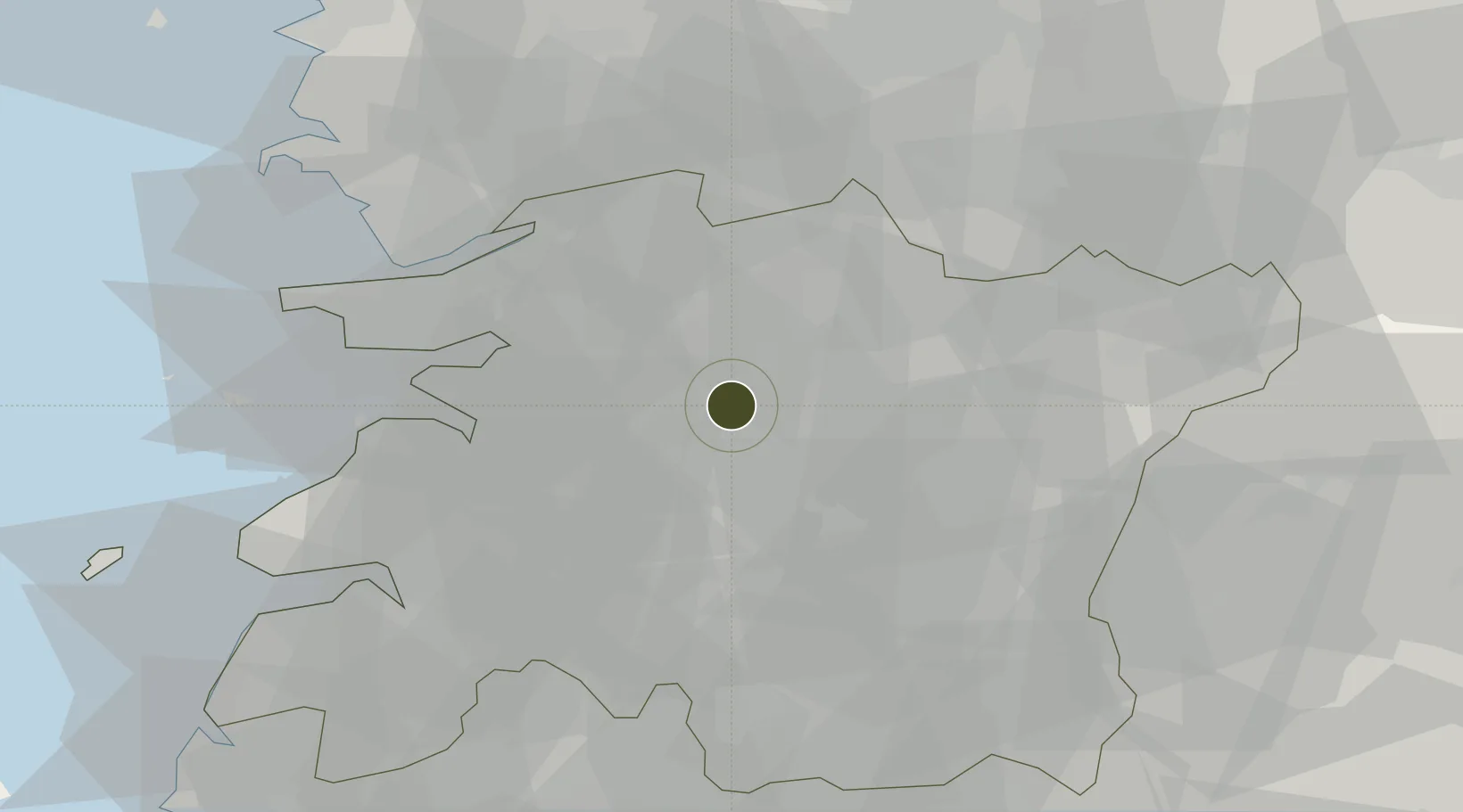
35.8105°, 127.1400°
806,700 ha
Zone area
50.9 km
Nearest port
48.4 km
Nearest airport

Gateway access

Nearest neighbours — logibook spatial index (haversine) over the source coordinates

Zone profile

Zone type
Economic Revitalization Project
Open Zone Map
Region
North Jeolla
Open Zone Map
Status
Active
Open Zone Map
Management
Public
Open Zone Map
Operator
Ministry of Knowledge Economy,
Open Zone Map
Legal framework
Special Act On Designation And Management Of Free Economic Zones Expand Act No. 15309, Dec. 26, 2017, Foreign Investment Promotion Act: Expand Act No. 16131, Dec. 31, 2018.
Open Zone Map

Location

Location of ozm-4255
Natural Earth 10m (public domain) · North Jeolla · ozm-4255 · 35.81, 127.14GoogleOSMYandex

Nearby Logistics Neighbours

Ports
  1. 1Kunsan51 km
  2. 2Gwangyang Hang115 km
  3. 3Mokpo133 km
  4. 4Pyeongtaek Hang136 km
  5. 5Masan147 km
Nearest neighbours — logibook spatial index (haversine) over the source coordinates
Airports
  1. 1Gunsan Airport / Gunsan Air Base48 km
  2. 2Gwangju Airport82 km
  3. 3Cheongju International Airport/Cheongju Air Base (K-59/G-513)106 km
  4. 4Muan International Airport114 km
  5. 5Yeosu Airport116 km
Nearest neighbours — logibook spatial index (haversine) over the source coordinates
Cities
  1. 1Chonju1 km
  2. 2Jeonju1 km
  3. 3Bongdong-eup/Wanju-gun14 km
  4. 4Sunchang-gun16 km
  5. 5Iksan20 km
Nearest neighbours — logibook spatial index (haversine) over the source coordinates
DatabookThe Record of Consolidated Knowledge
South Korea beyond logistics?
Browse databook

All Sources

Trade ZonesOpen Zone Map
CC BY
Portsthe NGA World Port Index
Public domain (US gov)
AirportsOurAirports
Public domain
LocationsUN/LOCODE
UN/LOCODE — free
← South Korea trade zones