Medium airport · South Korea
Yeosu AirportRKJY
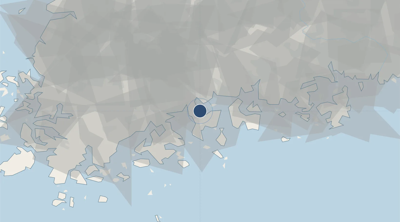
34.8423°, 127.6170°
6,890 ft
Longest runway
1
Runways
53 ft
Elevation
Runway & Layout

Radio Frequencies
TWR
122.5 MHz
GND
118.525 MHz
APP
135.4 MHz
SACHEON APP
Navaids
YSU VOR-DME Yeosu 115.70 MHz
Runways · 1
| Runway | Dimensions | Surface | True heading | Lit |
|---|---|---|---|---|
| 17/35 | 6,890 × 148ft | Asphalt | 158° | ✓ |
Airport Specifications
IATA code
RSU
ICAO code
RKJY
Airport class
Medium airport
Scheduled service
Yes
Runway surface
Asphalt
Served city
Yeosu
Location
Nearby Logistics Neighbours
Airports
Cities
- 1Gwangyang9 km
- 2Sangam-dong11 km
- 3Yeosu14 km
- 4Suncheon17 km
- 5Boseong-gun19 km
Ports
- 1Gwangyang Hang14 km
- 2Masan94 km
- 3Chinae100 km
- 4Mokpo113 km
- 5Busan132 km
DatabookThe Record of Consolidated Knowledge
South Korea beyond logistics?